When we started shopping seriously for an RV and a tow vehicle, we knew we wanted something that could accommodate a couple of our grandchildren traveling with us at a time. We chose an RV with a pull-out sofa bed AND a truck with a crew cab and plenty of legroom for growing kids. Even before purchasing Rhett (RV) and Scarlett (our ruby red F350), we started dreaming about when we might be able to have our two oldest grandsons join us for an extended vacation.
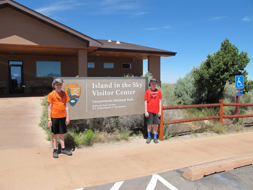
We began planning with Graham and Dean more than a year and a half ago and asked them what national parks they’d like to visit. We knew it would be summer of 2019 and by then they’d be 13-1/2 and 11. They first mentioned wanting to see Arches and Canyonland; we put our heads together and planned an amazing itinerary that would include all of the national parks in Utah as well as the North Rim of the Grand Canyon and maybe even the Petrified Forest NP.
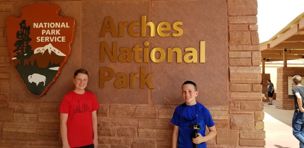
At Christmastime, we enlisted the boys’ help to research each of the parks in Utah—what specific places/hikes within the parks would they like to try? We chose dates and we started making reservations at campgrounds along the way — people warned us over and over about how blistering hot it would be in the summer so we made sure that we’d have full hook-ups (and air conditioning) at every stop.
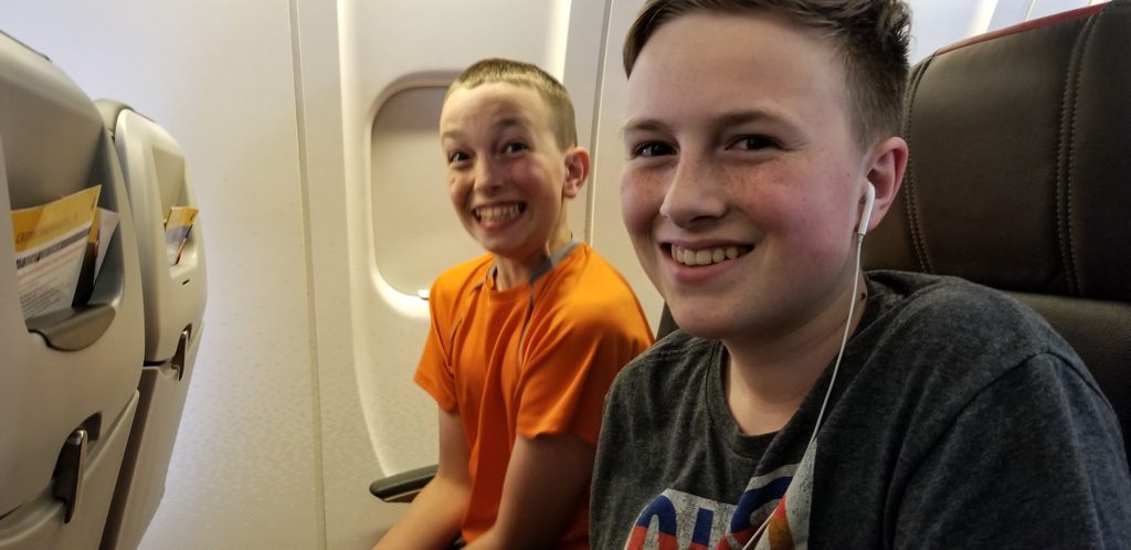
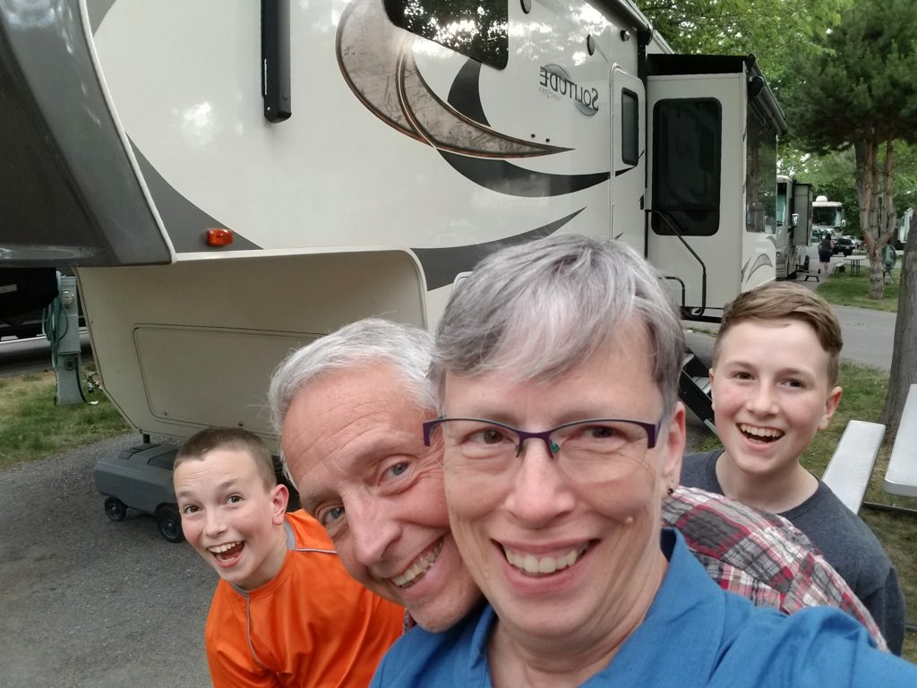
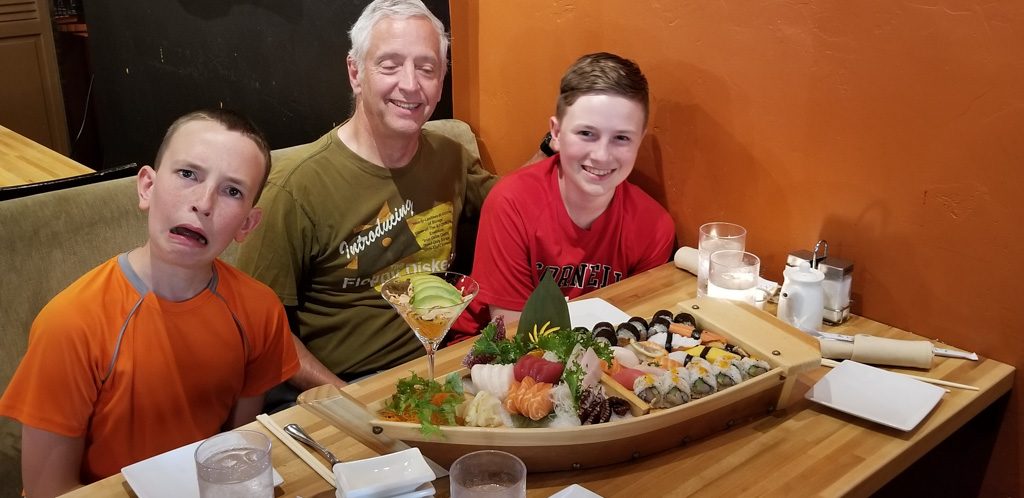
To say that these last three weeks have been everything we hoped for would be a tremendous understatement. Graham and Dean have been the most wonderful traveling companions—incredibly helpful, appreciative, curious, flexible, and hilarious! We have had such a fabulous time laughing and living together—we are REALLY going to miss them!
The most recent blog post (authored by Dean) covered our adventures through July 9th. After that, we spent time in Zion National Park, the north rim of the Grand Canyon, and the Petrified Forest NP (including the Painted Desert). The boys visited Walnut Canyon National Monument with Grandpa on the last day of our adventure.
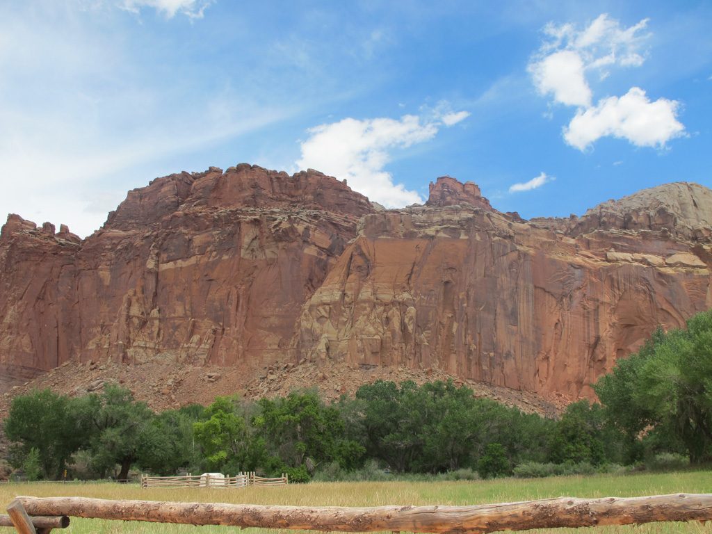
Al was really excited that we’d be able to spend time at Zion; we had visited it VERY briefly 30 years ago (when our kids were 11 and 7) and Al had really looked forward to returning for a more complete visit.
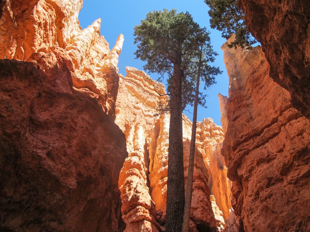
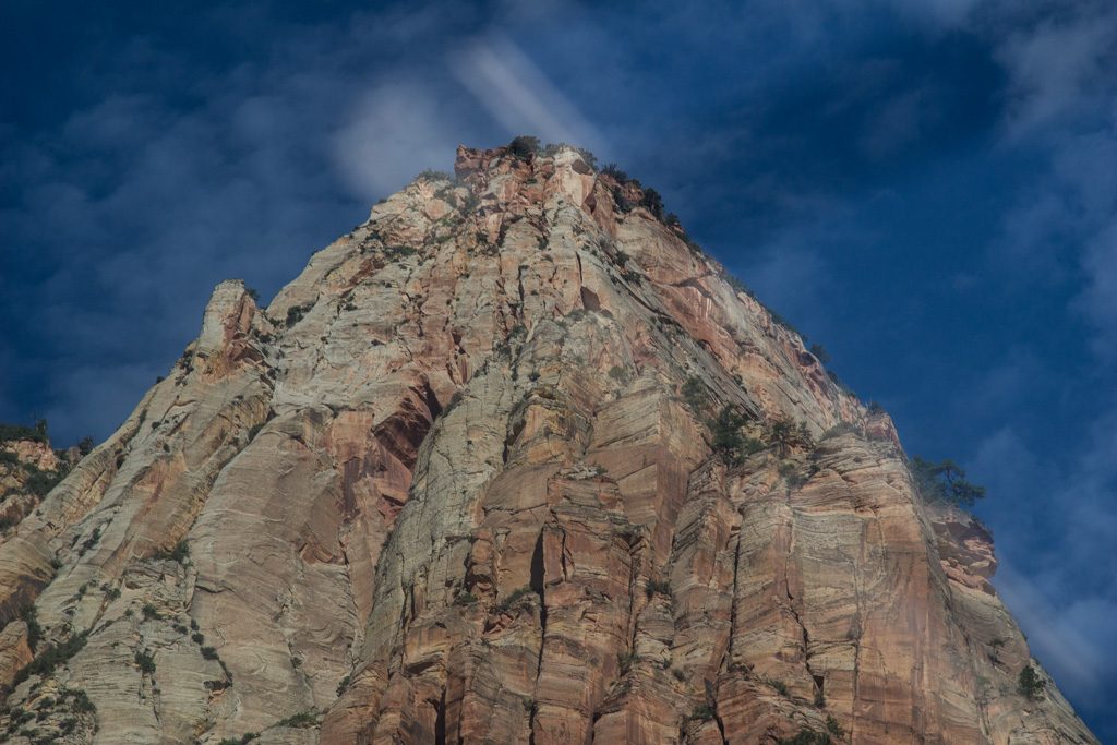
Zion National Park
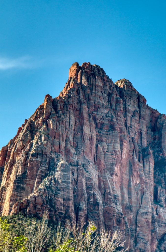
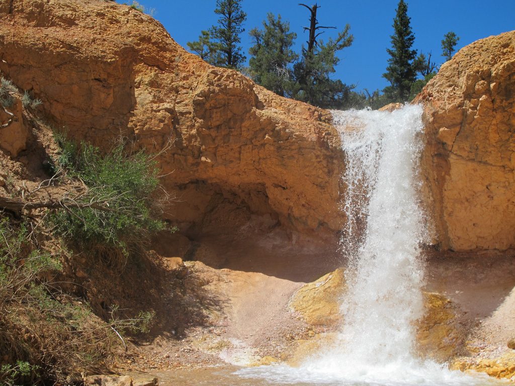
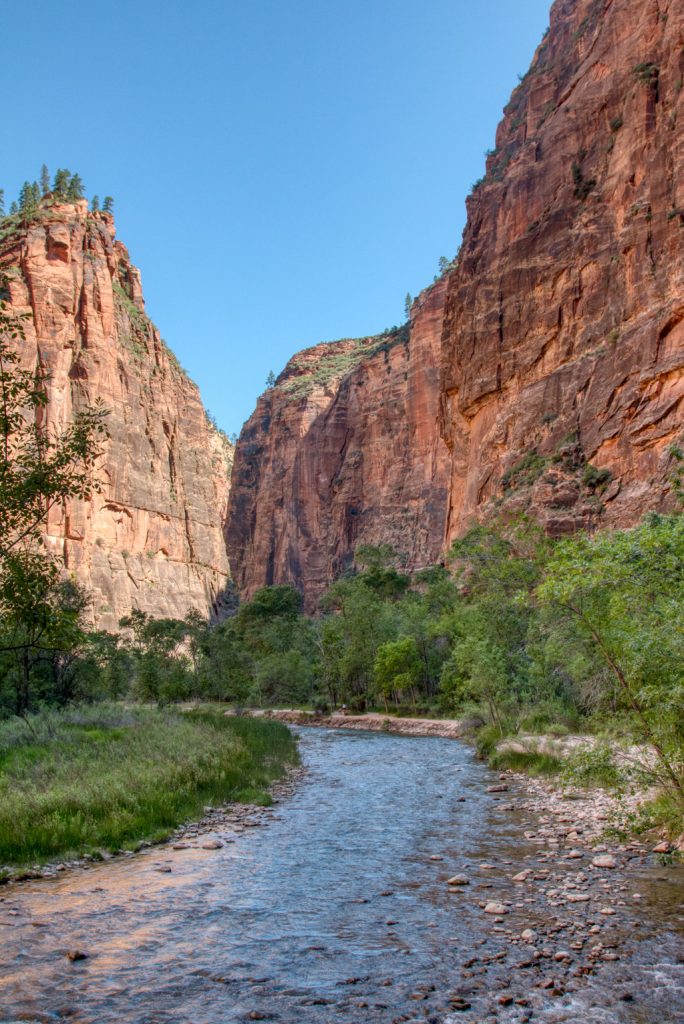
In contrast to Bryce, Zion was incredibly warm. We topped out at 111 degrees! Our campground was about 14 miles from the entrance to the park. We were able to drive into the community of Springdale where we picked up a free shuttle into the park and transferred onto a free park shuttle. When there are shuttles running, no private cars are allowed into most areas of the park.
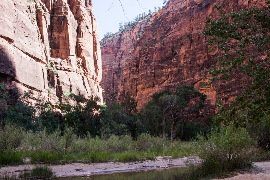
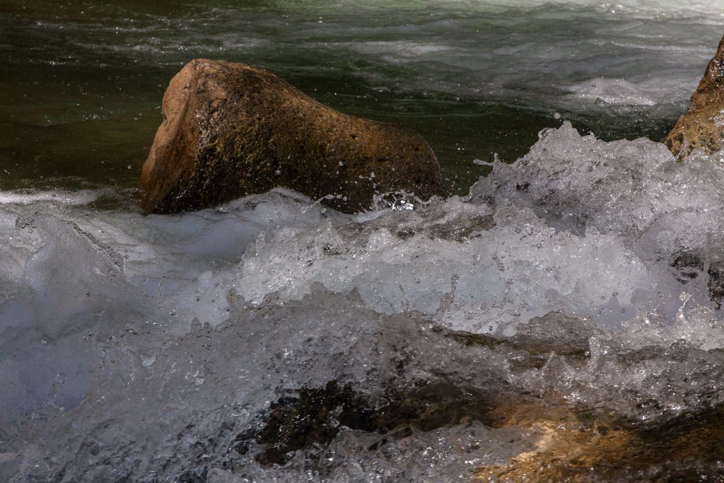
We got up early in the morning (before the heat of day) to hike the Riverside Walk up to the start of the Narrows. The shuttles were pretty busy(*) and we noticed many folks with special waterproof shoes and walking sticks. These items are available for rent for the brave souls who would actually walk up through the water-filled canyon–we talked to a couple of women who had walked in to where the water was up to their waist. One of them tripped and fell into the water (but luckily didn’t damage her expensive camera).
(*) Pro tip: The shuttles are very busy with 45 minute to one hour waits at the visitor center even as early as 7:00 AM. If you arrive at the park relatively early, drive up to the first stop, the Museum, and board the shuttle there. You’ll have to stand, but you can get on with no line! I don’t know when the museum parking fills, but there was lots of space there when we went by at a bit past 8:00.
We only went to up to the point where the trail moves into the riverbed. Maybe another time we’ll go up the river a bend or two but even going only this far the canyon shows many different faces.
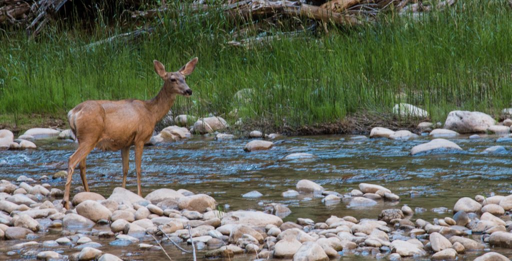
Walking alongside the river was a great time to learn about fast shutter speed photography, to stop the motion of the water!
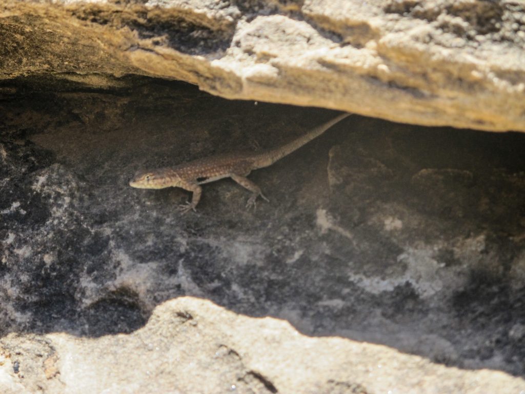
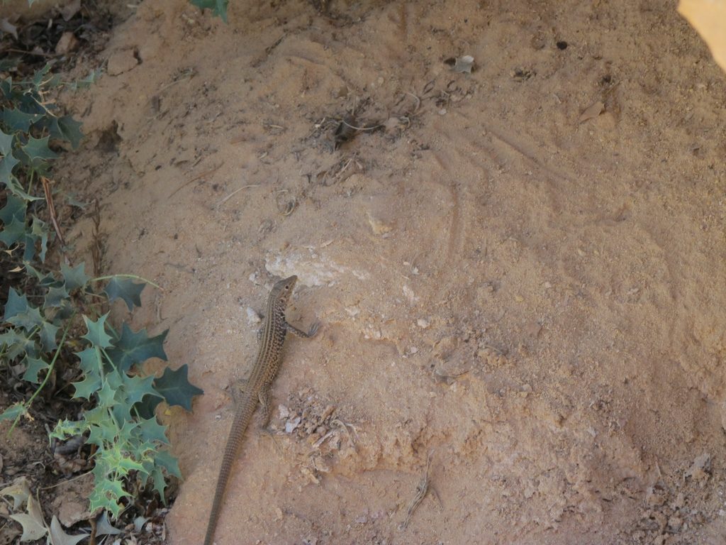
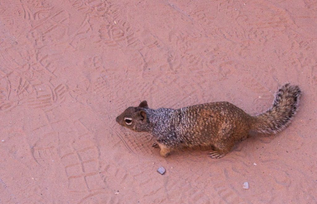
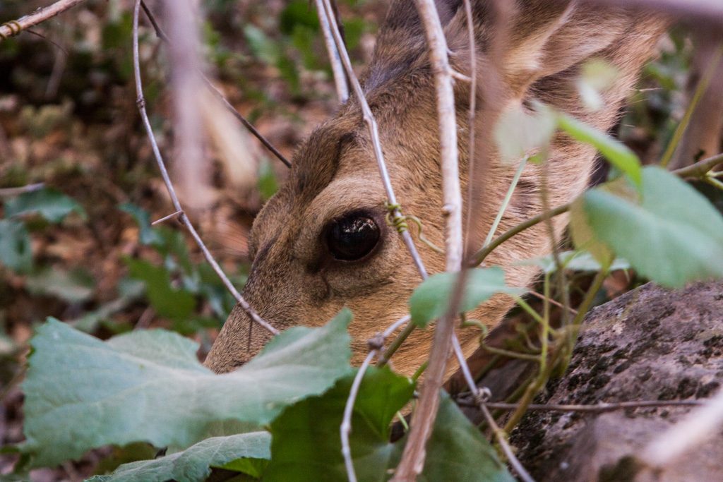
The land is home for the wildlife; we are just visitors.
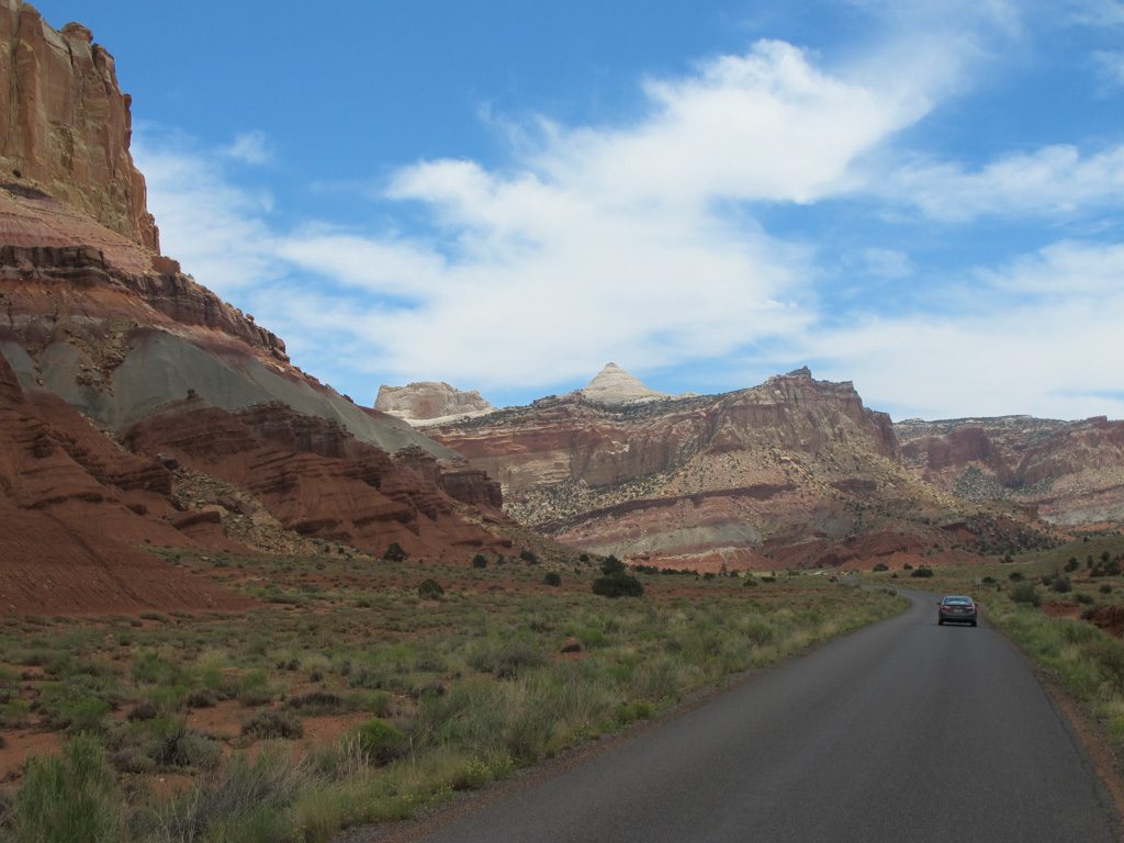
The valley section containing the canyon and Narrows is in the west side of the park. Our second day in the park, the boys and Al went to the east side, where the geography is very different.
Al: To go between east and west one must go through a long, narrow, twisty tunnel. Our dually pickup Scarlet was too large to go through with traffic flowing both directions, so we had to wait for westbound traffic to be shut down so that we (and many others) could go east. The Ranger’s last words to us before we entered: “Drive in the middle.” Talk about “it goes without saying!”
We saw so many large vehicles waiting in line both directions that I think it likely the tunnel never sees two-way traffic during the summer. But even so, we couldn’t take Rhett through if we wanted to (we didn’t), because it is too tall!
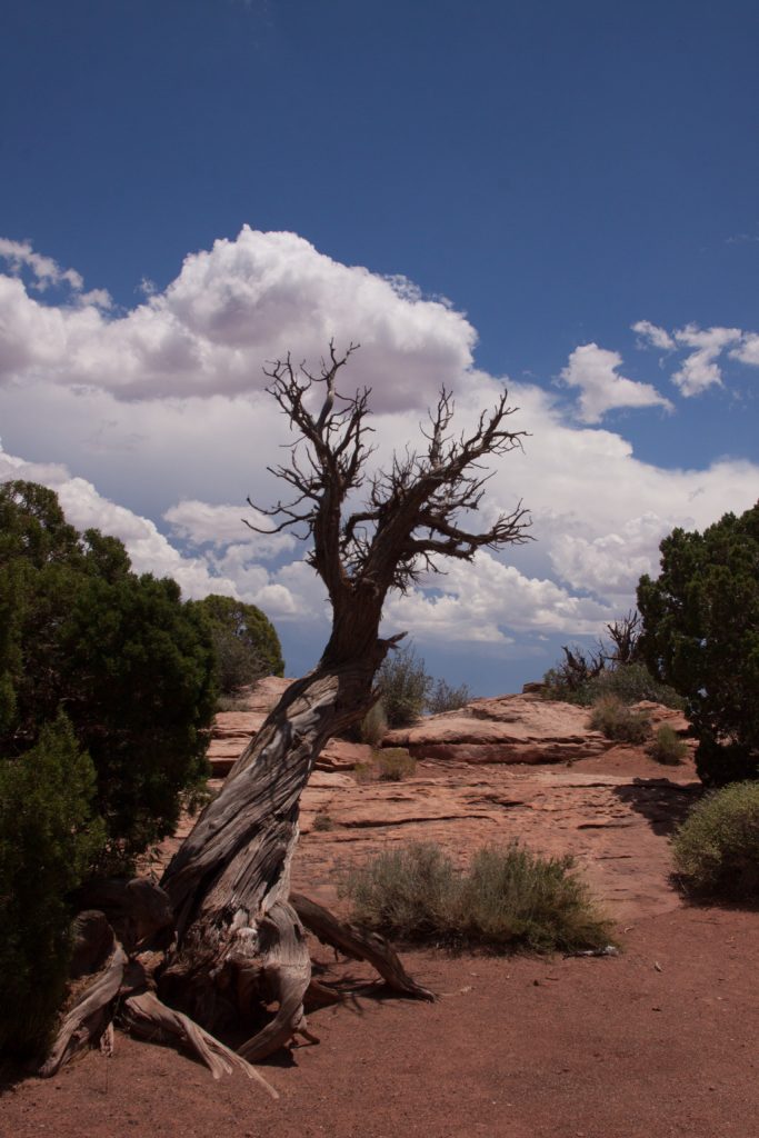
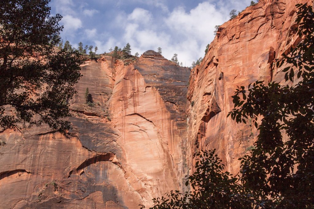
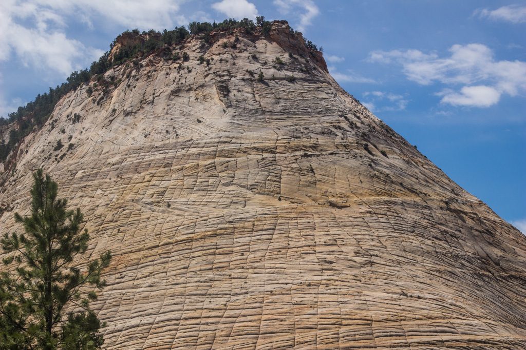
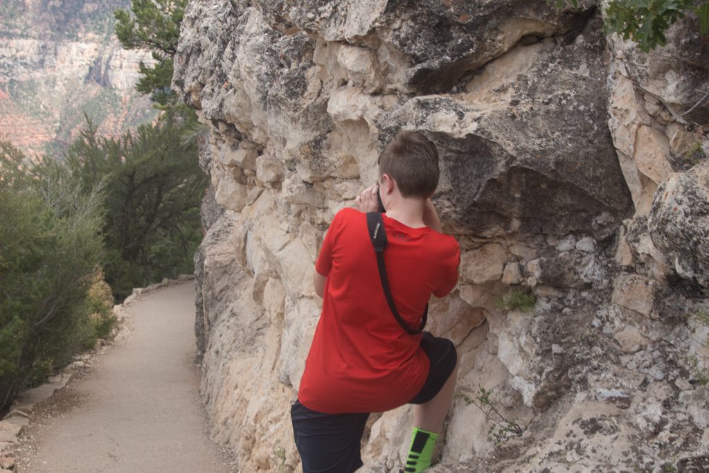
The geography in the east side of the park is very different. It is pretty much wide open, with sloping sandstone hills showing very distinct layers. Graham, Dean, and I had a great time scrambling on the rocks in a few places. We would have done more, but the heat limited our willingness to be out of the truck’s air conditioning for a longer time!
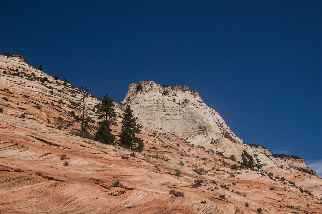
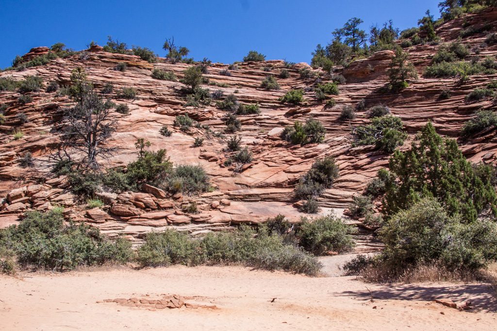
There are still peaks on the east side, but overall the area is much more open.
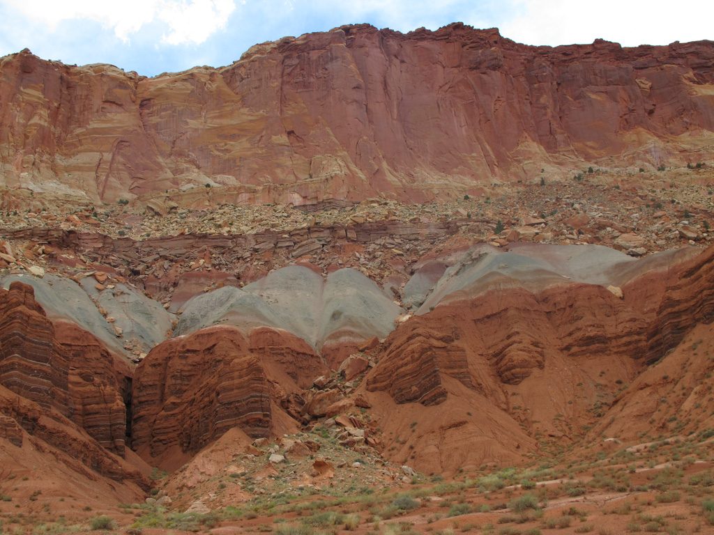
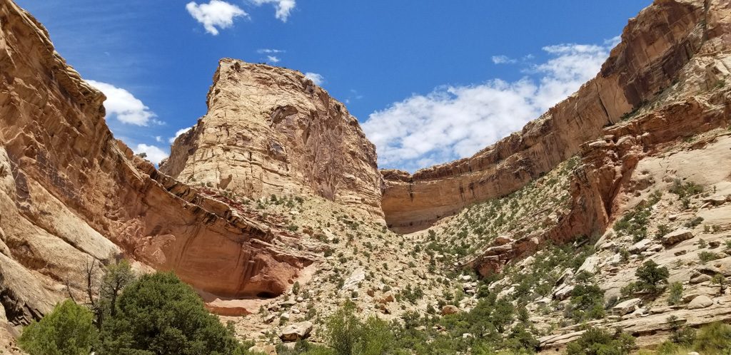
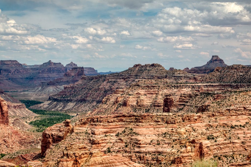
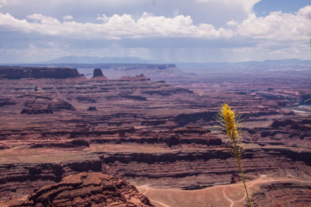
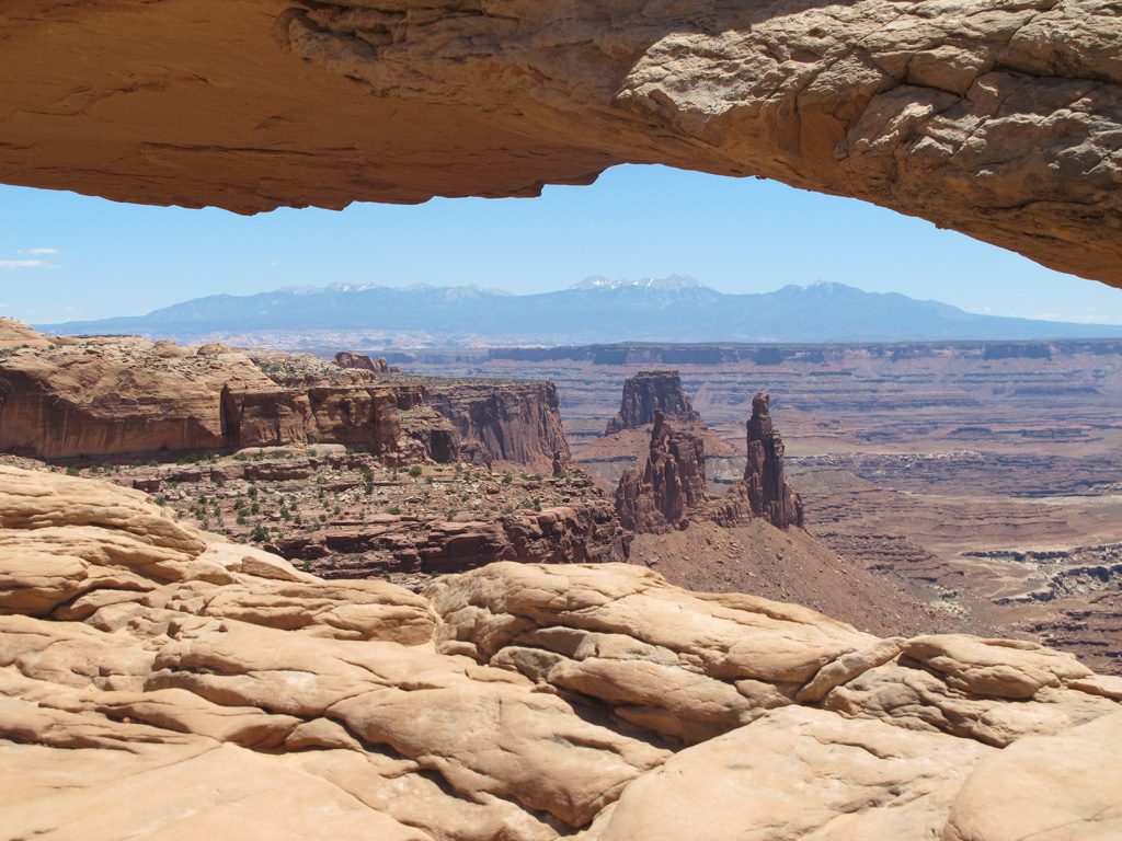
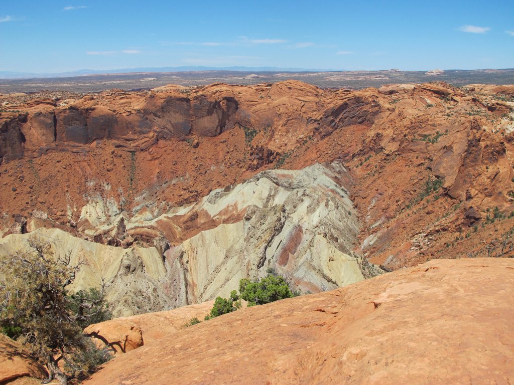
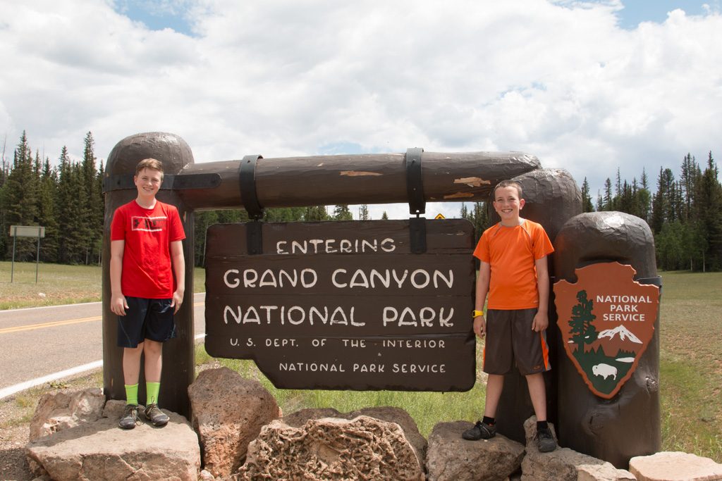
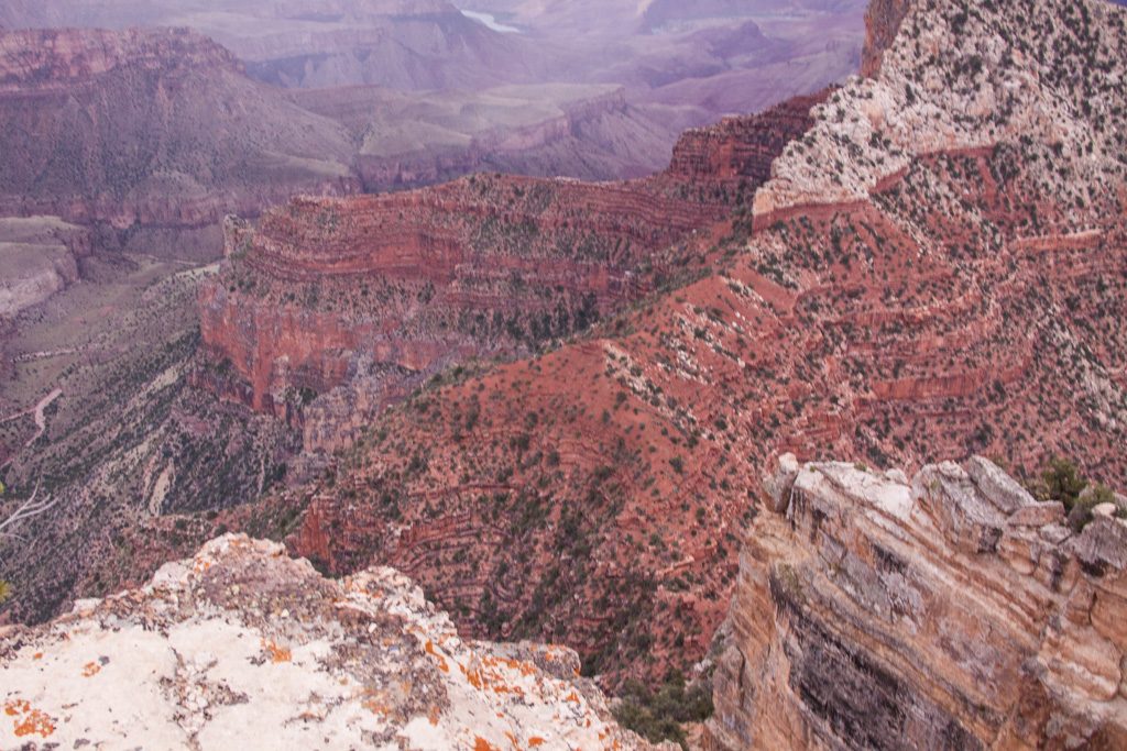
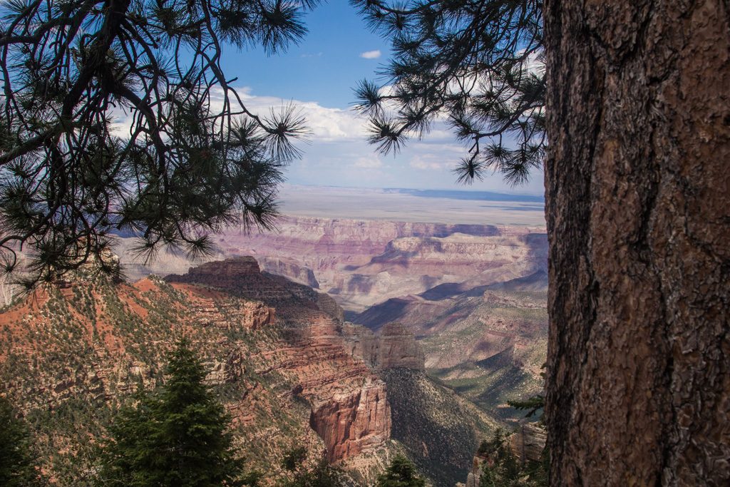
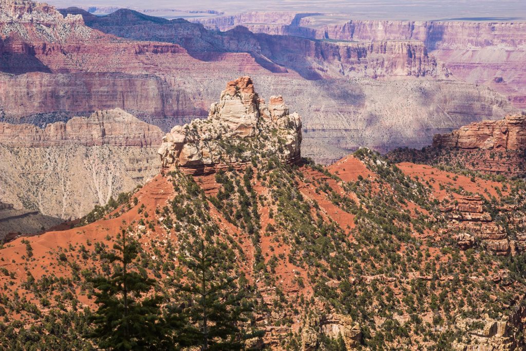
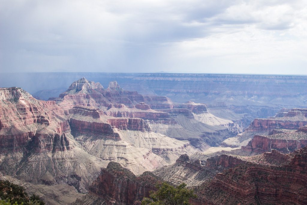
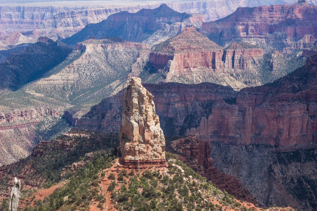
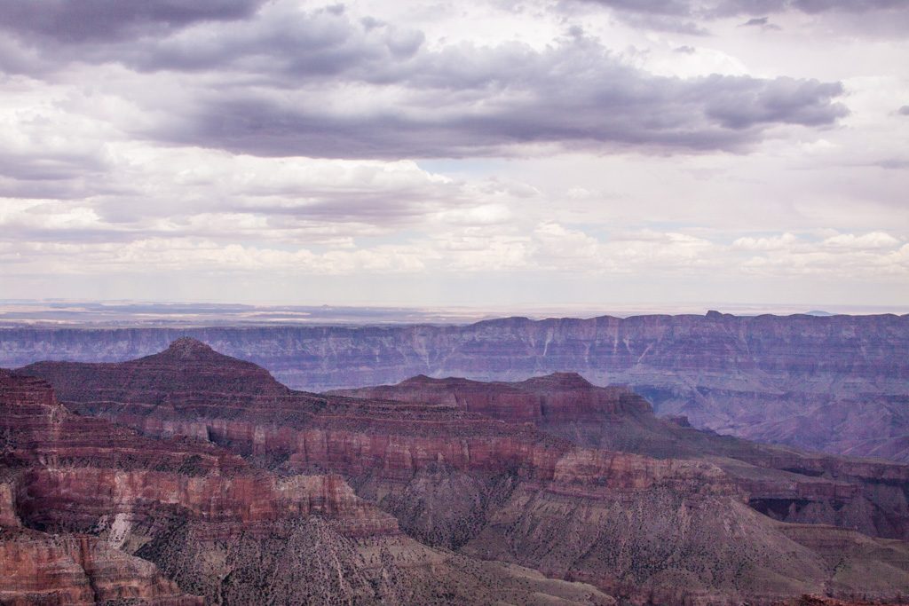
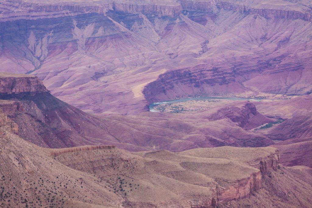
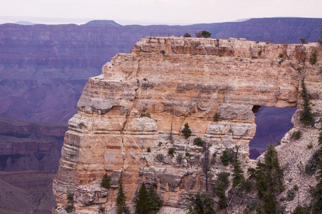
Grand Canyon National Park North Rim
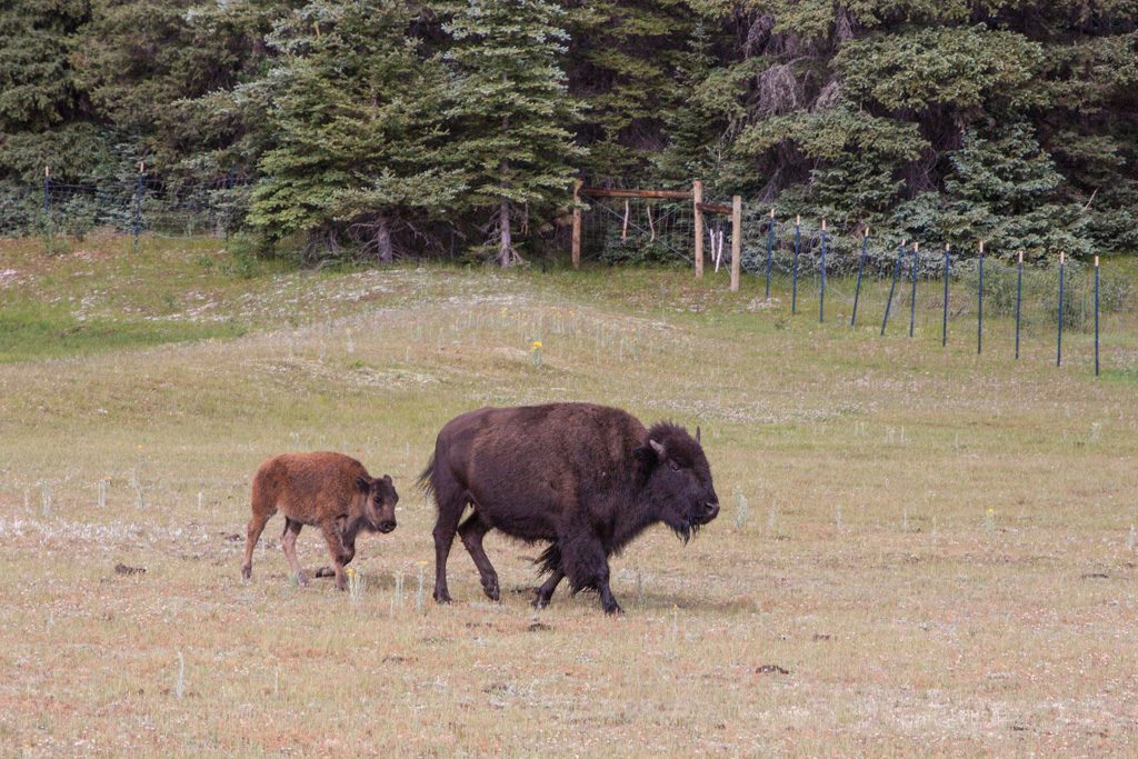
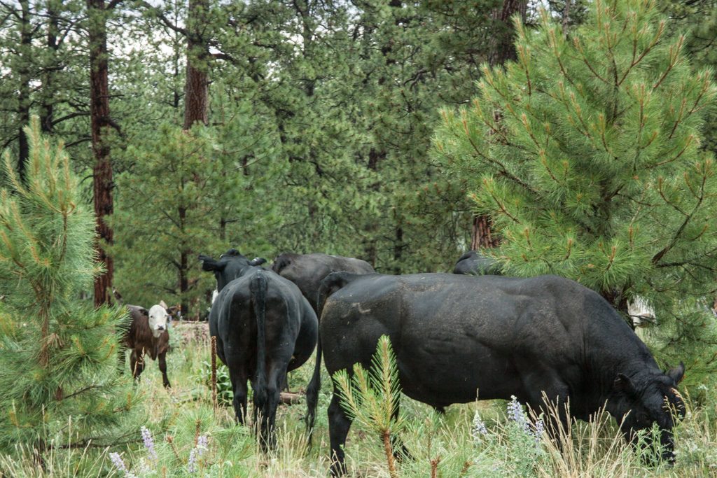
From Zion, we went to the north rim of Grand Canyon National Park. We camped in Jacob Lake about 42 miles north of the park–it was the closest campground with electric hookups (air conditioning is essential to us in Arizona in the summer). A sign near our campground at the start of AZ-67 said “This road is not plowed in the winter and not patrolled at night.” It quickly became apparent why. This is basically a very long driveway to the North Rim; there is virtually nothing for the whole distance.
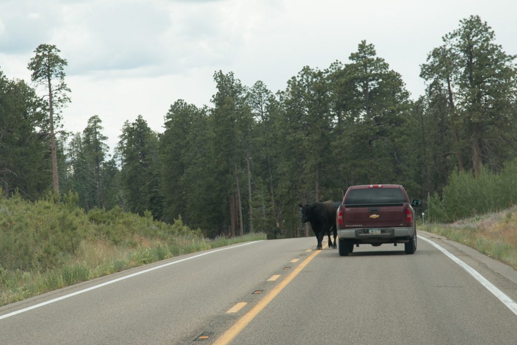
Nothing, that is, but some cattle and bison, and one gas station selling gas and diesel at obscene prices. A monopoly!
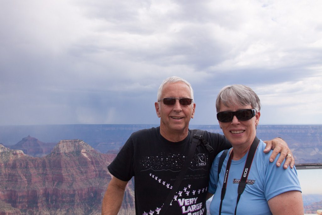
Brother Graham framing up a picture of the canyon…
We’ll let the grandeur of the canyon speak for itself, as words can’t improve on it.
Unbelievably, after visiting the Grand Canyon it was time for the last National Park of our time together. But first, a quick stop after driving to our next campground.
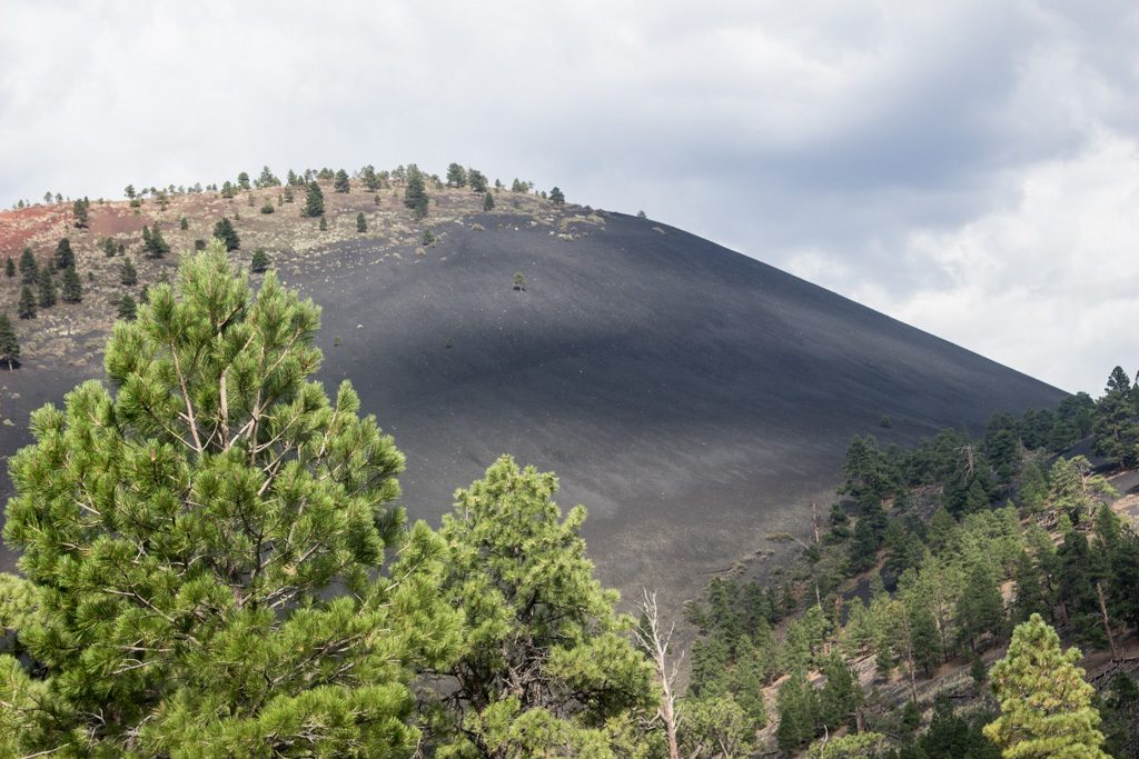
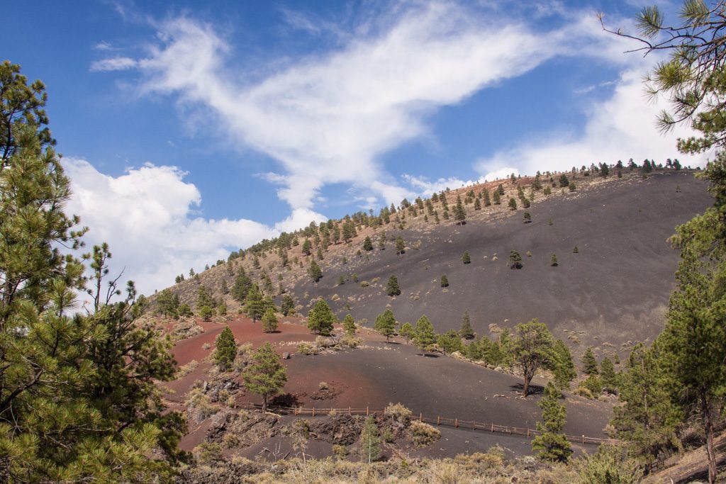
Sunset Crater Volcano National Monument
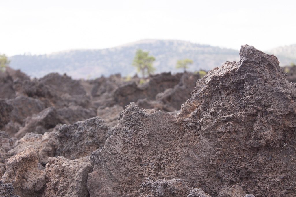
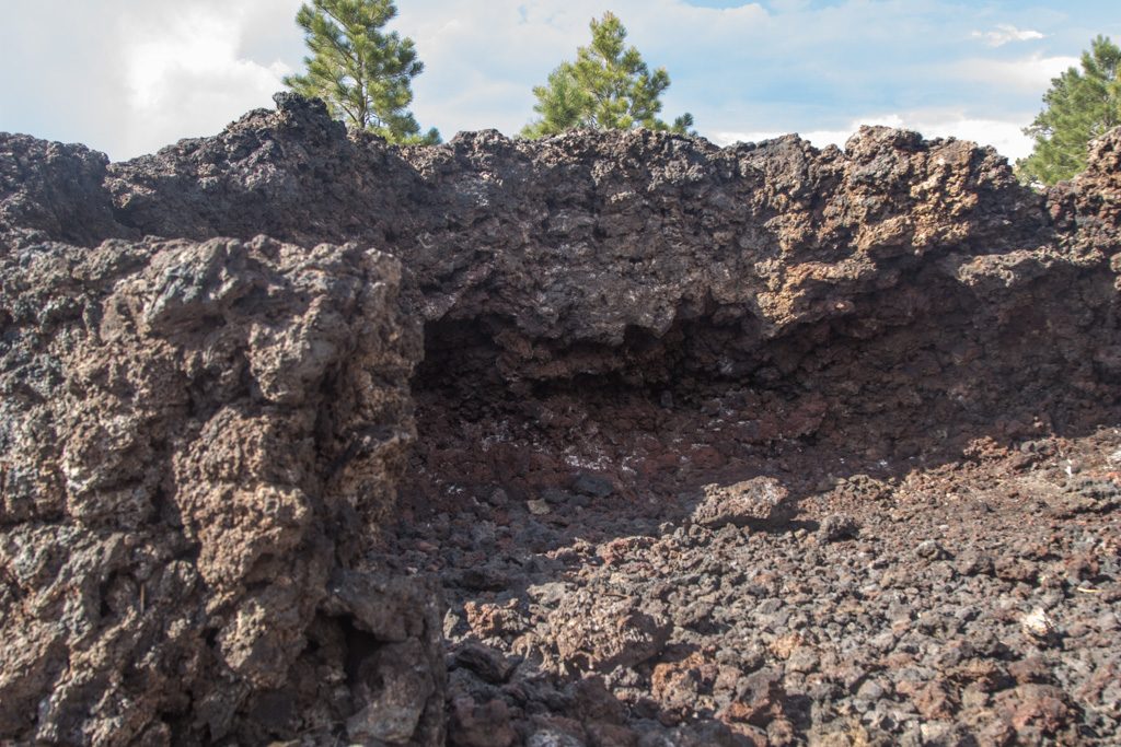
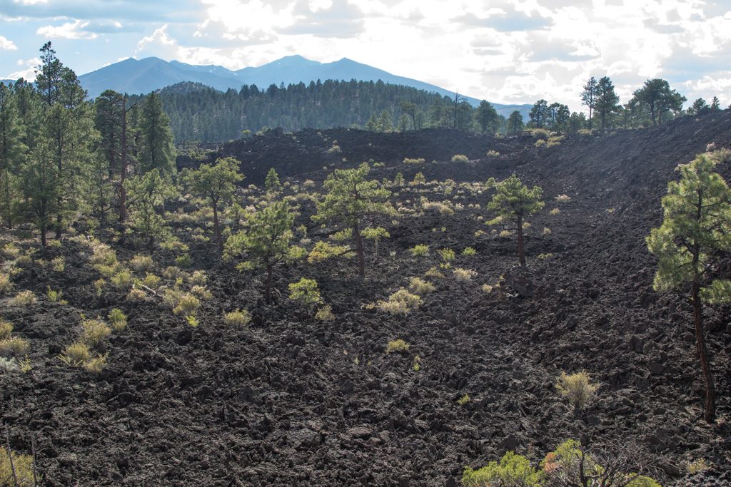
It is not often that you get to be next to a (dead? dormant?) volcano. Sunset Crater Volcano erupted about 900 years ago, so it is relatively new, geologically speaking. The cone is still covered with lava “pebbles.” (Sorry for not knowing the right term; somebody please fill me in.) Nature hasn’t taken the ground back with vegetation. Also, there are huge chunks of lava jumbled about. It is really quite interesting to walk through.
For many years hiking was allowed on the cone. This resulted in paths that were waist deep through the lava pebbles. Restoration efforts were made by shoveling many tons of pebbles back into the tracks. The scars from this are still slightly visible, but we didn’t get any good pictures of that.
The National Monument was created in response to a movie company wanting to dynamite the cone to create a landslide for a scene! The locals said heck no, and pushed for the creation of the Monument. Phew!
There are secondary outlets from the volcano, and their mounds are called “spatter cones.” They are very fragile, and many of them are no longer complete.
Nature is trying to re-vegetate the land, but it is slow going.
Sunset Crater Volcano was named because later eruptions expelled a reddish, instead of black, rock, covering the rim and lower slopes with red. This reminded some of a sunset. Or so the story goes!
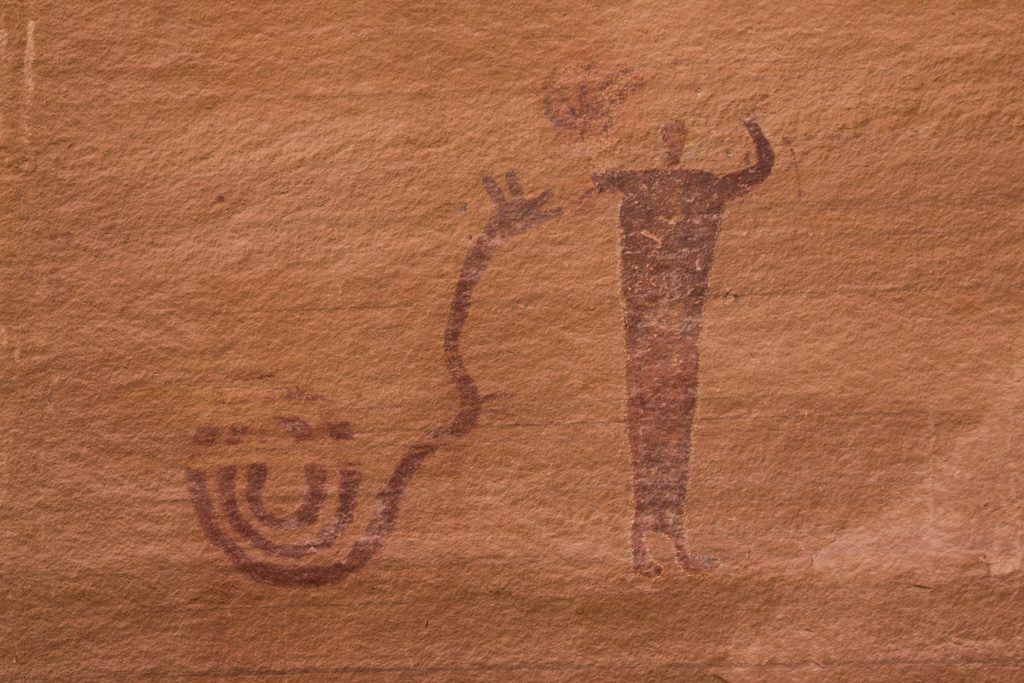
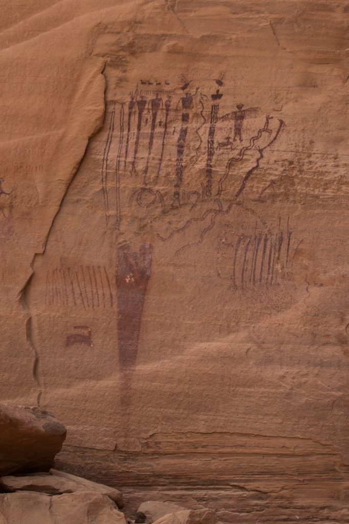
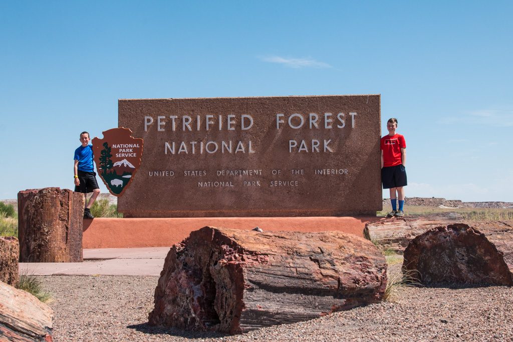
Petrified Forest National Park
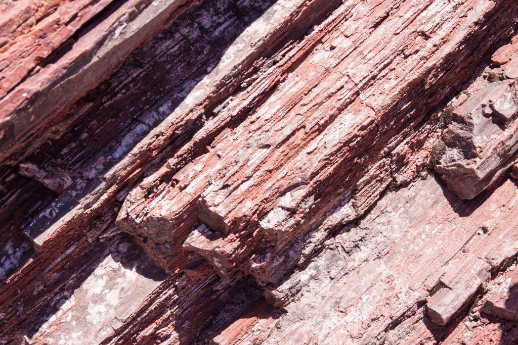
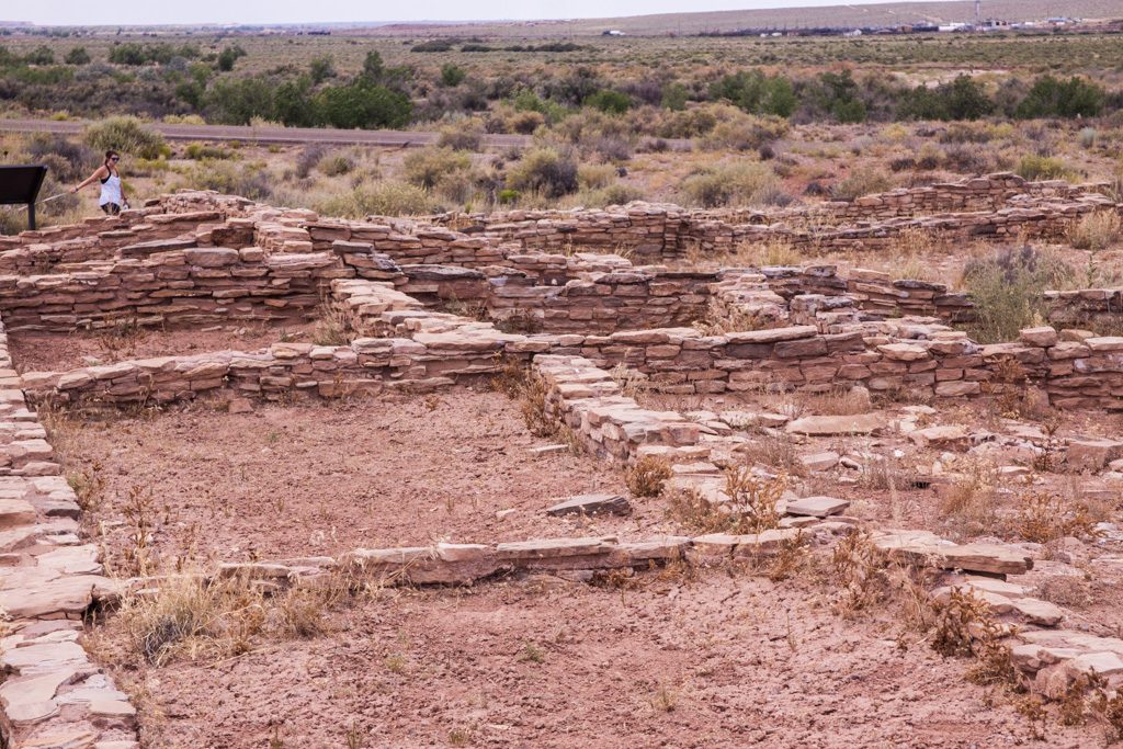
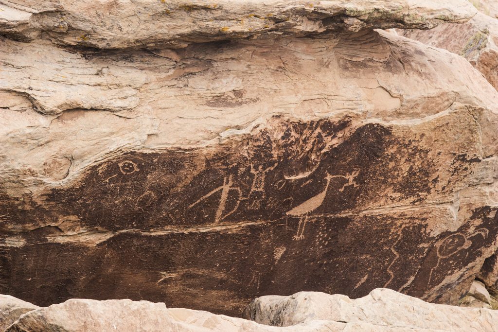
The calling card of Petrified Forest NP is of course the abundance of petrified wood—huge logs of rock. But it offers so much more: the remains of an ancestral Puebloan village, petroglyphs, the Painted Desert, and more.
Petrified wood is formed as mineral laden water migrates into the cellular structure of the wood. Different materials such as iron oxide cause different colors. It is beautiful!
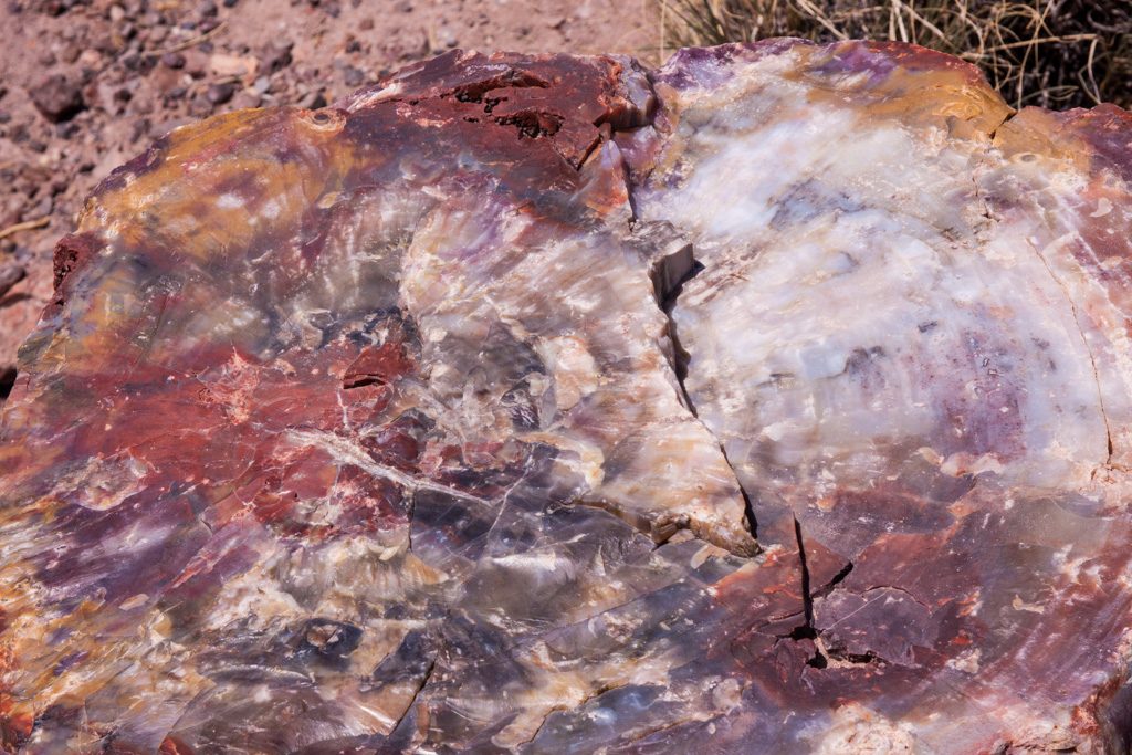
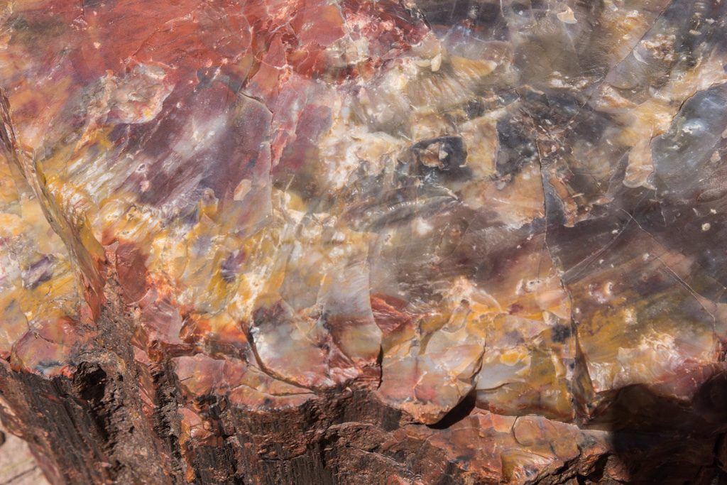
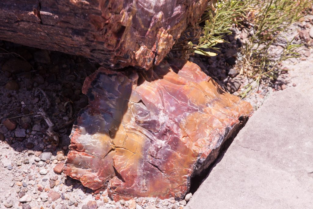
You can still see the tree’s structure preserved in the rock. The park said that there are some logs here where you can count the rings, but we didn’t find them.
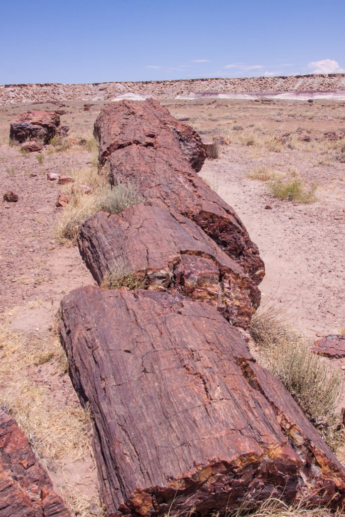
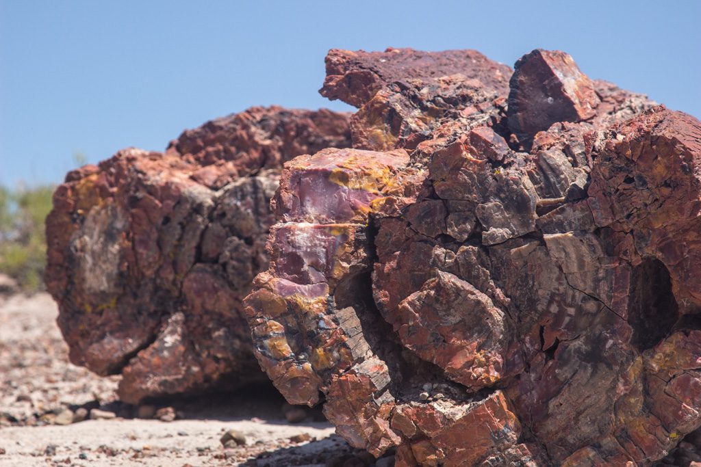
All of those pictures were taken walking through a one mile loop behind the visitors’ center. Then we drove through the park stopping at several of the view points.
After Petrified Forest, we had one more stop.
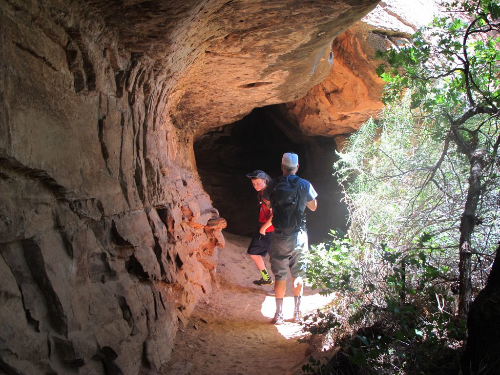
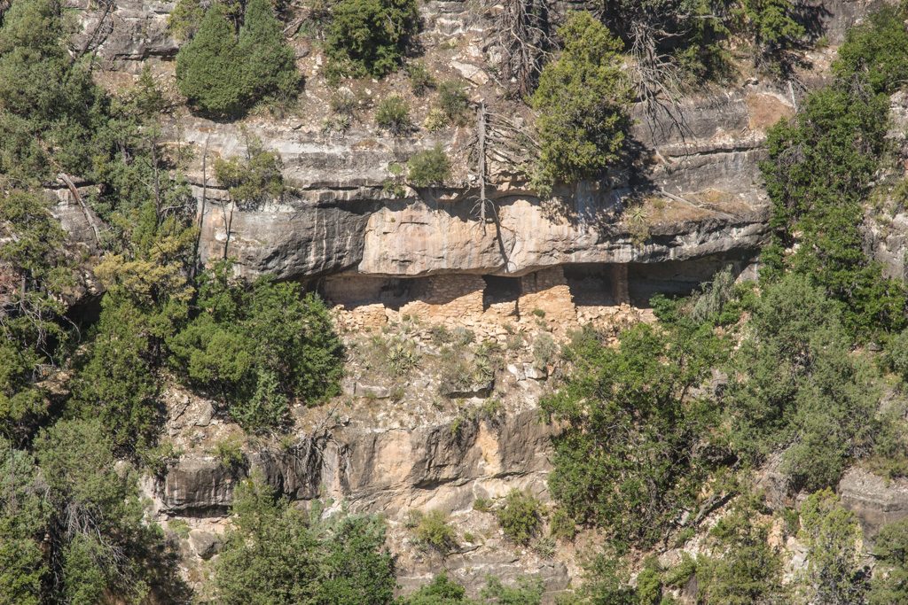
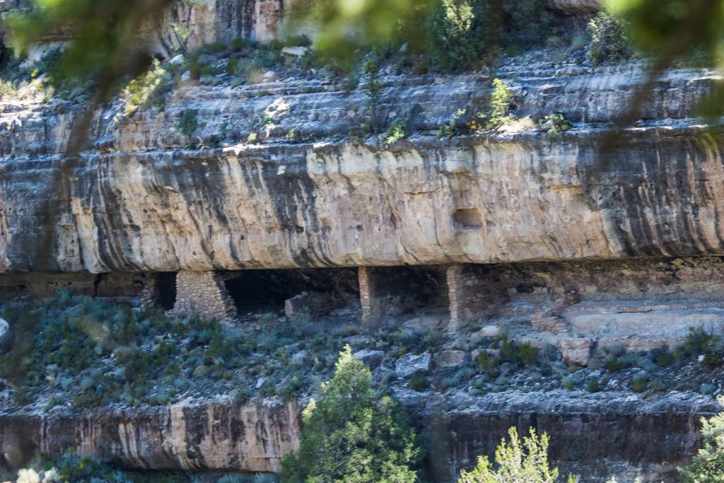
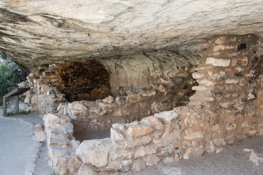
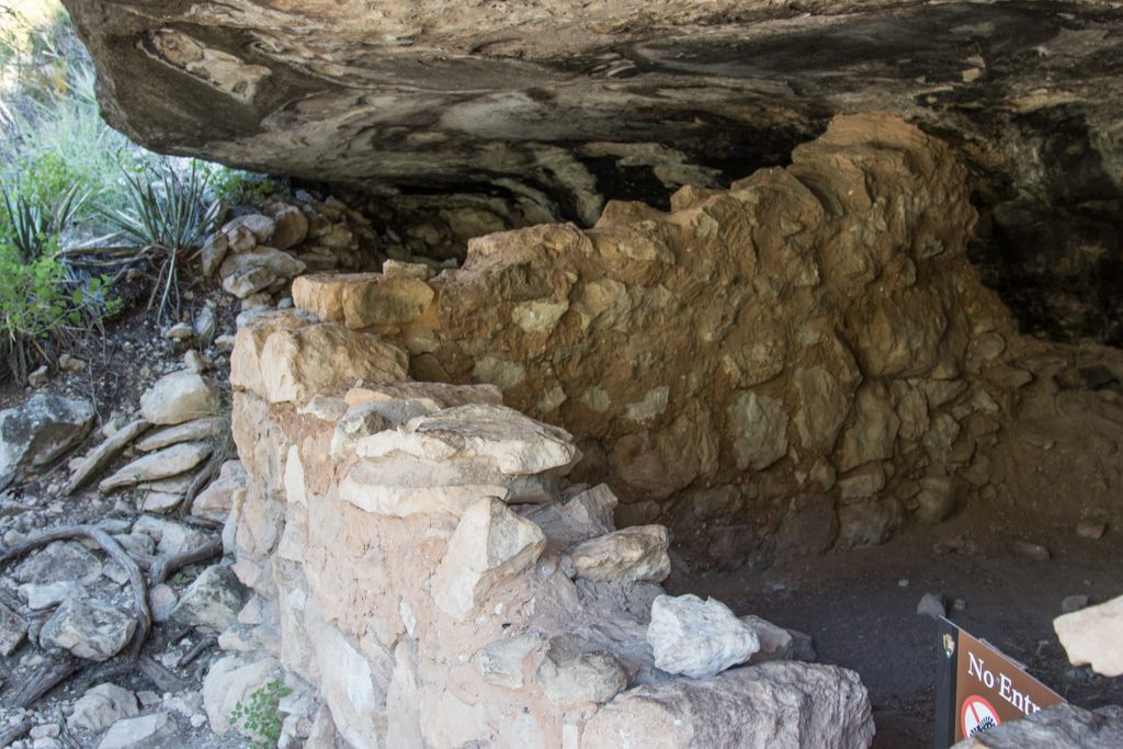
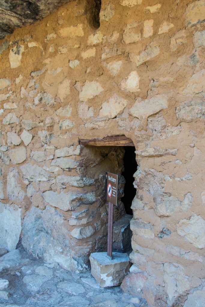
Walnut Canyon National Monument
This was a short stop very near where we were camping, on the morning of our last day together.
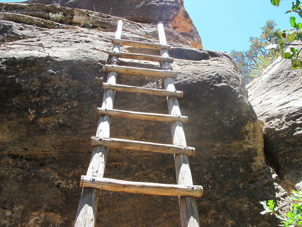
Despite heavy looting in the late 1800s and early 1900s, many cliff dwellings still remain in this canyon.
The “Island Trail” is a loop trail. When we were here several years ago in a February, the trail was only passable part way because of ice. This year the trail is only passable part way due to trail maintenance. Fortunately, it closed the other half, so across two trips Al was able to see the whole trail.
The side that is now open has much more extensive dwellings right along the trail. Some can be entered, some are posted to keep out
We have such easy lives. Imagine that you had to carry your food, and water up or down a cliff every day—several hundred feet of nearly sheer rock face, either way. How did they get Amazon deliveries? Oh… Wait.
Then we spent the rest of our last day together getting ready for the trip home and playing games. Then Al had to say “goodbye,” and drive us to the airport. It was a great visit with Graham and Dean, everything we’d hoped for and so much more!