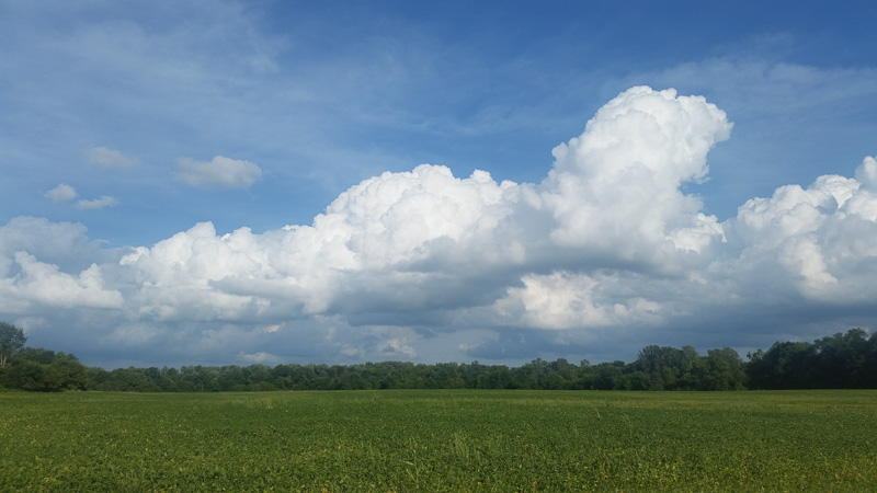
In my post about our recent biking, I promised a separate post about the Ohio and Erie Canal per se. True to my word…
I’m not going to try to regurgitate all that has been written about the canal and its history. Use the link above for a Google search page of sites about the canal. Instead, I want to offer what I saw of it and my impressions. I learned any history that I include here from Interpretative Rangers or the various informational signs posted throughout the park.
The name Ohio and Erie Canal stems from the two ends of the canal: Lake Erie and the Ohio River. By connecting the two, commerce was enabled between Lake Erie and the Gulf of Mexico. It turned Ohio into the third wealthiest state.
The canal was a huge undertaking! It was dug entirely by hand in the 1820s and completed in 1832. It was specified to be a minimum of 40 feet wide at the top and 26 feet wide at the bottom, with a minimum depth of 4 feet. The canal was used for cargo until 1861 when rail transport took over. From the 1870s it gradually degraded until 1913 when massive storms damaged much of what was left, and lock #1 had to be dynamited to allow flood waters drain.
We rode along 25 miles of the tow path, from the southern end of Cuyahoga Valley National Park to the northern end. In the southern end it is hard (for me, impossible) at times to discern the path of the canal. Gradually, the outline of the canal becomes visible as a large dry trench. Much of the tow path is between the canal and the Cuyahoga River. Toward the northern end, the canal still holds water, although probably no longer four feet. I was told that some industrial sites still draw water from the canal.
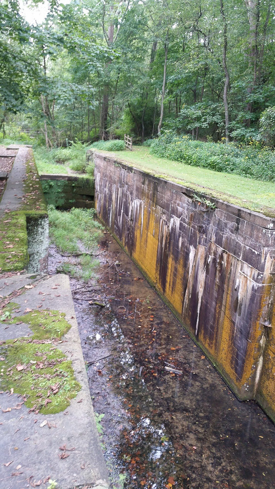
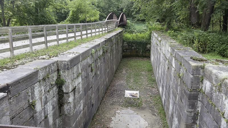
I don’t know how many locks were originally in the region we biked, but we saw many—again, mostly in the northern half. Canal barges were specified to be a maximum beam (width) of 14 feet and length of 85 feet. Although the canal trench was specified to be 40 feet wide to allow boats to pass each other, the locks were much narrower averaging only 15 feet wide and 90 feet long, thus fitting only one boat at a time.
Looking south (upstream) through a lock.Another lock, also looking upstream.
The lock gates were massive wooden structures, some operated by hand, others by horses or mules. The average lift capability of the locks was 9 feet, with the largest (called the “Deep Lock”) being 17 feet.
I wasn’t able to find any sign of the pumping equipment they would have needed to manage the water levels in the locks.
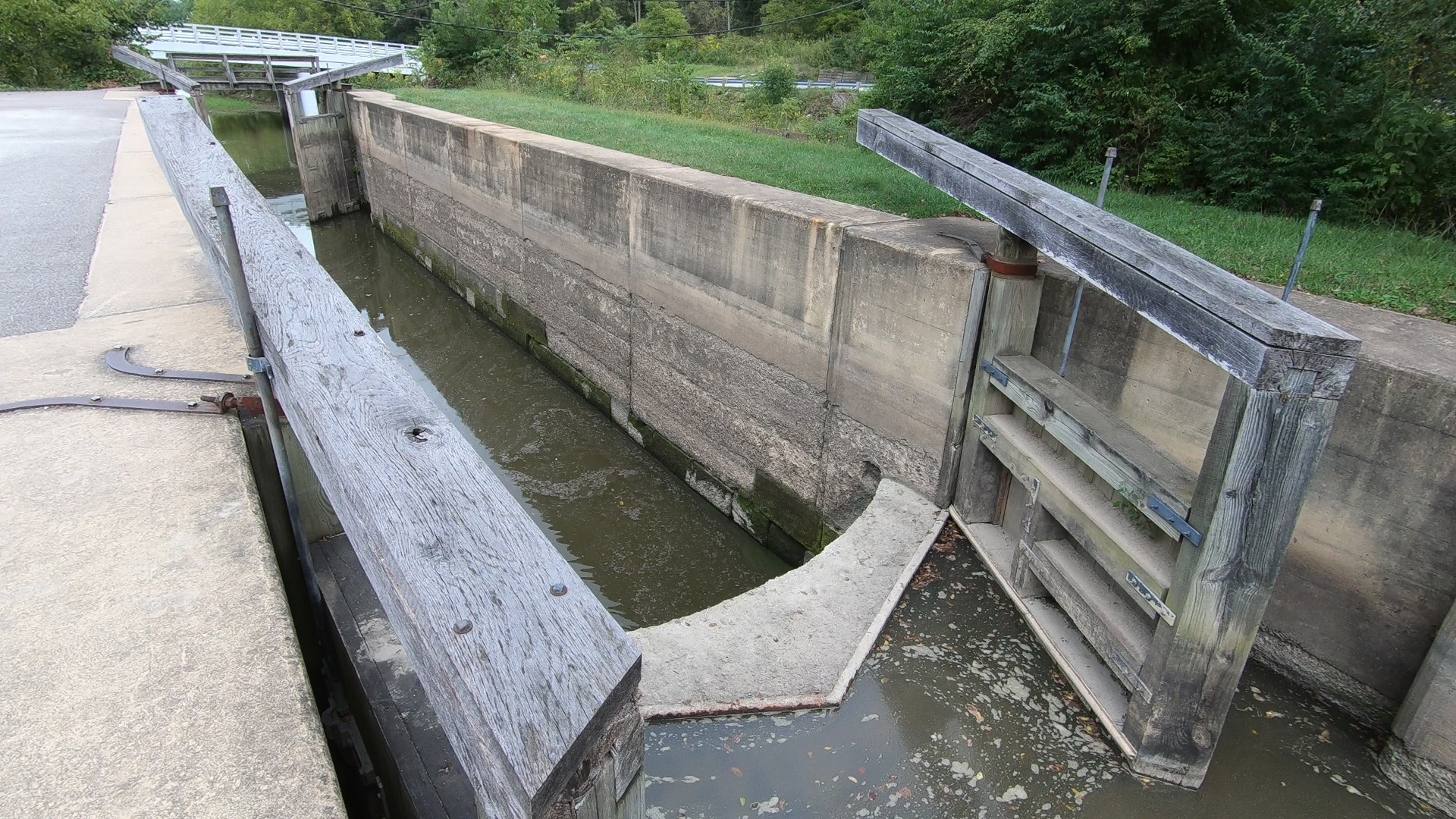
Near the north end of the park is the Canal Exploration Center, a CVNP visitor center. The exhibits are very well done! Stop in, if you’re in the area.
At the CEC is a restored lock with the gates in place.
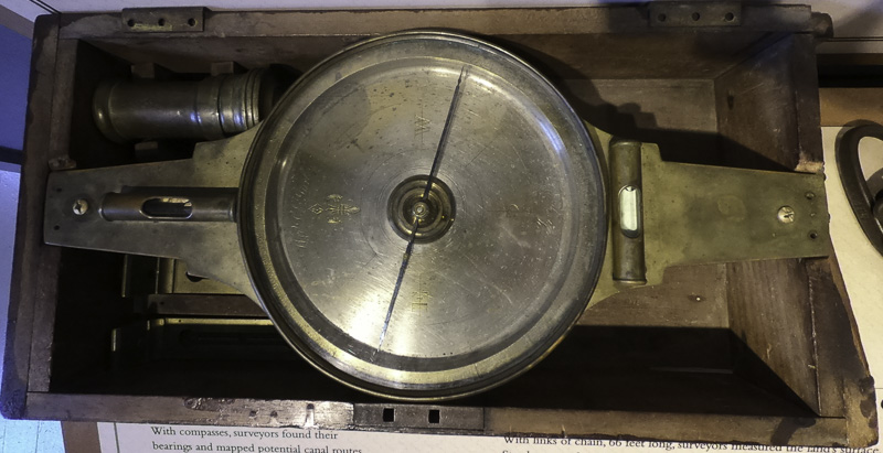
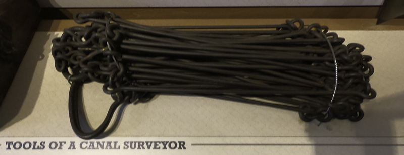
In this era of GPS location accurate to a few feet and laser transits, it was sobering to think back about the tools available when the canal was built.
A surveyor’s compass.Surveyor’s chains, for distance.
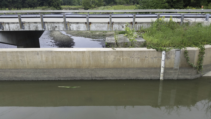
At the Canal Exploration Center I found this modern flood control device; it had valves that would send canal water into a side arm of the Cuyahoga River.
One of the things that Kathe and I were—and still are—looking forward to on our trip is riding our bicycles. We even got new ones before leaving (our then-current ones were about 16+ years old).
I don’t think that I’ve biked 50 miles total since I was a teenager, back in the paleolithic era.
We’ve done about that in the past 6 days.
Back in Indiana (we’re now in Ohio), we pedaled either 22 or 25 miles, depending on whose odometer/GPS you believe, on the Pumpkinvine Nature Trail from Goshen to Shipshewanna and back.
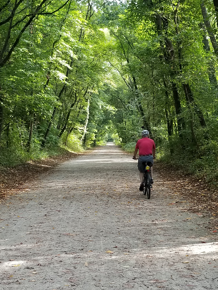
Today, we rode 25 miles on the Ohio-Erie Canal Towpath in Cuyahoga Valley National Park. I’ll write about the canal in another post. Today is about biking!
One of the nice things about biking is that it slows us down, allowing us to observe what’s around us.
The Pumpkinvine trail is 25 miles long, joining the towns of Elkhart, Goshen, Middlebury, and Shipshewana. We only took the middle section, about 11 or 12 miles. Some of the trail is through miles of agricultural land with fields on both sides as far as you can see.
One of many fields we passed.
Some of the trail is wooded.
Al, facing heavy traffic on the trail!
Other parts are on sidewalks along the street. I was always told as a kid not to ride on the sidewalk, but on the street. At least where the trail runs along a street, they want us on the sidewalk, not the street!
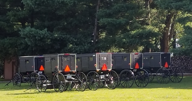
There is a 1.7 mile section of the trail for which the property was only recently obtained; there the trail is under construction. For this section we had to ride on the side of three county roads, but there were very few cars. It probably isn’t true, but it seemed like we saw more buggies than we did cars. Being a Sunday, we passed several homes where worship was being held, with many buggies parked outside.
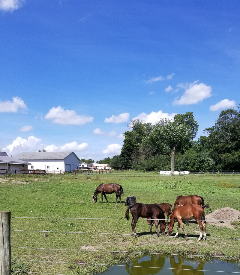
Parking for worshipAn Amish farm along the Pumpkinvine trail.
In MIddlebury, we wanted to see the Krider Gardens which we had heard about from other rally attendees. As we approached Middlebury we were waiting at a street crossing. We asked another cyclist if he knew the trail here. “Pretty well.” We asked how to get to the gardens and he offered to show us (it was right on the trail). As we parted, he told us he was the chair of the Middlebury Parks Commission, which oversees / maintains both the Middlebury section of the trail and the garden! “Pretty well,” indeed!
Kreider Gardens
We had planned to turn around in Middlebury since this was our first ride of any significant length, but certain protocols must be observed. First we needed to find ice cream. Unfortunately this was Sunday so the only place in range was a Dairy Queen. But it sufficed.
Sorry, I don’t have any pictures of the Dairy Queen to insert here…
On our way back while we were riding on the county road section of the trail we noticed that we were about to be overtaken by a buggy. (Yes, there is something slower than a horse-drawn buggy: tired-people powered bicycles!) But they disappeared! Then we realized that these were people returning home from worship and they were turning into their driveways.
Funny how the miles on the way back seemed longer than those when we were fresh and just starting out!
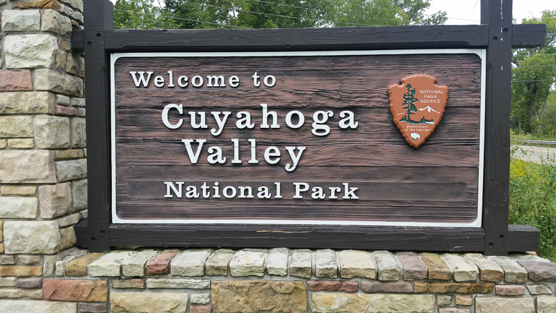
Much like Acadia National Park, Cuyahoga National Park was built from many individual land acquisitions. As a result its borders are irregular where it sits in Cuyahoga Valley between Cleveland and Akron in the Ohio & Erie Canalway. Because it is situated among existing communities there are many entrances (again like Acadia); because of this, CVNP is a no-fee park.
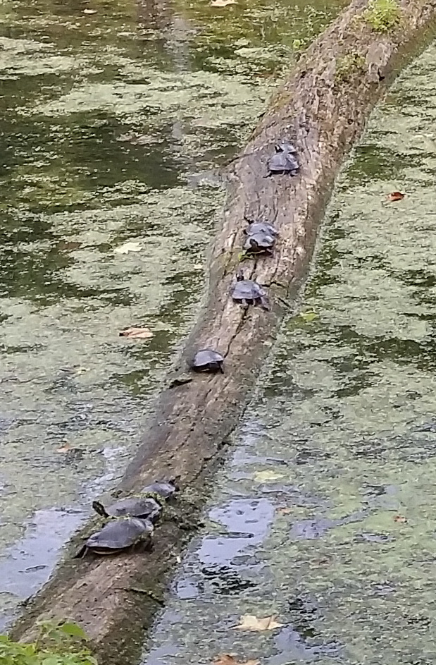
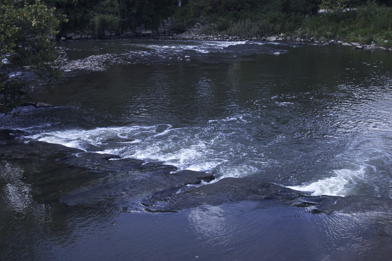
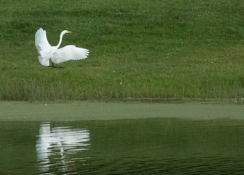
The Cuyahoga Valley Scenic Railroad runs the length of the the park through the Canalway, with both it and the canal taking advantage of the valley’s terrain alongside the Cuyahoga River. If you don’t know the recent history of the Cuyahoga River, it is really interesting. Once one of the country’s most polluted rivers (quiz: what happened in 1969?), it was effectively “dead,” with no animal life in the river. It now supports fish, beaver, otters, turtles, eagles, and many more species.
Turtles soaking up the sun
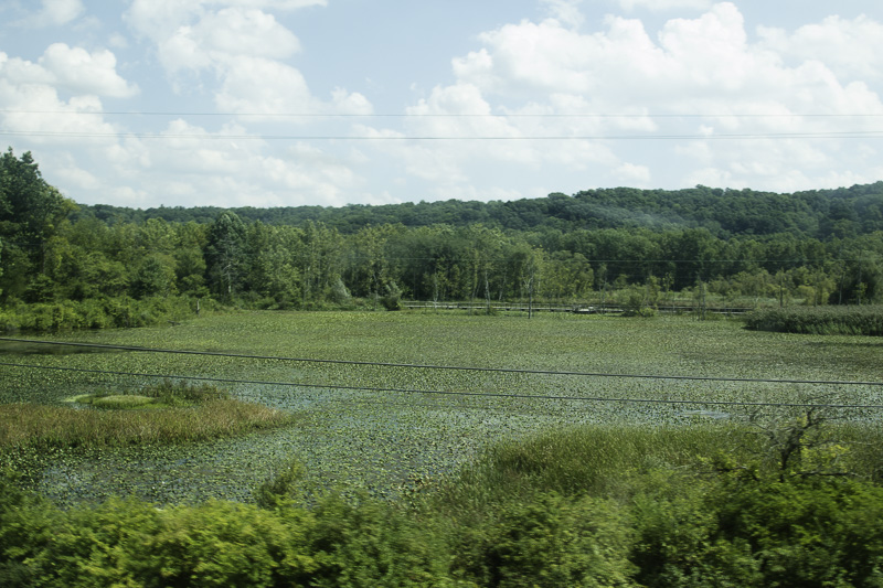
This area had been a car dump before the park. It was cleaned up with the intention of making it a parking lot, but the beavers had a different idea. It is now a marsh supporting many types of wildlife.
Courtesy of the beavers. Don’t park here!
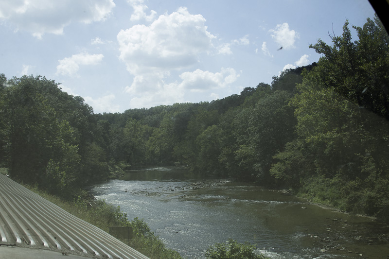
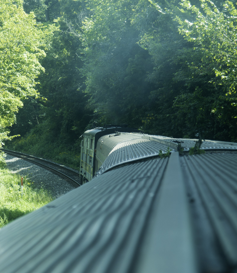
We rode the Scenic Railroad on a round trip through the entire length of the park. We rode in a dome car, offering 360° views.
Cuyahoga River from the dome carHave to have a pic of a train going ’round the bend!Looking north on the Cuyahoga, heading toward Lake Erie.
While the ownership and maintenance of the rolling stock and the daily operation of the railroad is the responsibility of the non-profit Cuyahoga Valley Scenic Railroad organization, the right-of-way and railbed is maintained by the National Park.
So what is a towpath? Before motorized vessels, barges were pulled through the canal by mules. The path they took is the towpath. Mule teams were available to rent, but many barges carried their own (two) teams of mules because they found it more economical. We were told that the passenger barges, also called “packet boats,” were often pulled by horses; I guess they were deemed to be more appropriate for the cultured (wealthy) passengers.
Because the tolerances are so tight in the locks, some canals including the Panama Canal still use “mules” in a tow system. The ship uses its own propulsion system for forward motion; the mules are now powerful electric tractors on geared tracks which use cables to maintain the ship in the center of the lock.
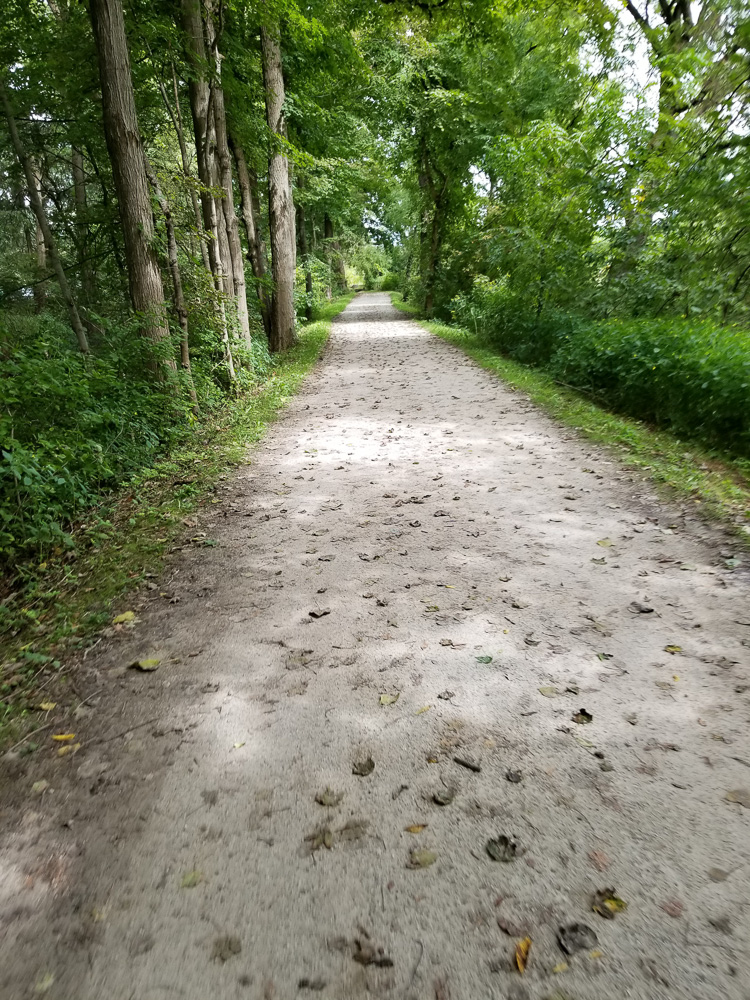
Overall, the Ohio & Erie Canal towpath runs 87 miles, approximately 25 miles of which is inside the park. The section in the park has been rehabilitated into a multi-use trail (walking, bicycling, and horse riding—but horses are not allowed on some sections). It is well surfaced with much being paved and the rest being hard packed; it is all suitable for road bikes and was very easy riding on our hybrids.
At times we were riding through woods, some times along the Cuyahoga River, and still others right along the canal.
Along the towpath
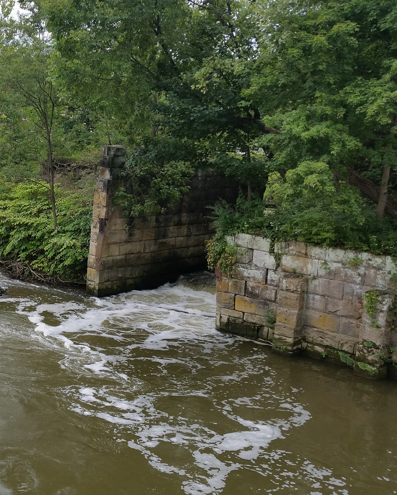
The canal brought prosperity to the area with many businesses set up along its path. Here are the remains of a mill, the raceway which powered the wheel.
A mill race on the Cuyahoga River.
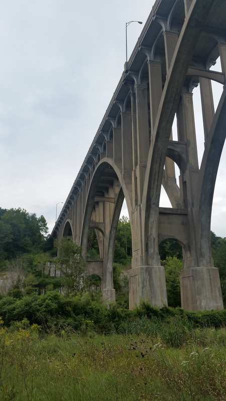
We were told by one of the Scenic Railroad staff that at the time it was constructed, this was the largest concrete bridge in the world, but I’ve been unable to confirm that. Either way, it is quite an impressive structure
Concrete bridge over the Cuyahoga River and Ohio & Erie Canal.
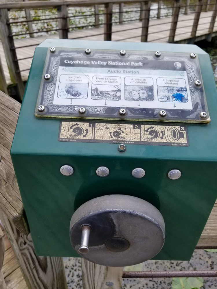
We don’t think that this will replace Interpretative Rangers, but it was an interesting method for providing information about the surrounding area to the hikers and bikers. It had a small hand-operated generator powering the player. My arm tired out before the ending of the first recording we listened to!
Hand-operated “Audo Station.”
Being “lapsed” (out of shape) riders, we chose to ride toward the north, following the flow of the river; it is nominally downhill, although a drop of approximately 400′ in about 25 miles is not an overwhelming grade!
Then came the ride back to our starting point…but this time not on our bikes (they actually rode with us!). The Scenic Railway offers a program called Bike Aboard, where bikers can ride the train. This allows many people (including us) to ride the towpath for longer distances, and see more of the valley, than they would be able to if they had to make the return by pedal. The railway has three scheduled stops in its run: at each end and in the town of Peninsula which is about the midpoint. However there are six other “stations” (sometimes simply a widened spot on the right of way with a bench) at which bikers can flag down the train to board, or request the staff to stop the train so they can debark.
We’re certainly looking forward to our coming bike adventures!
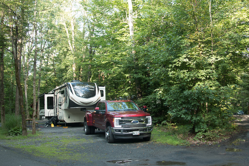
We’re writing this on Sunday; we’ve now completed one week of our adventure! Time flies, and so do the miles… We’ve now covered 1195 miles since leaving our house. (Kathe corrected me (Al) when I referred to it as “home.” We have our home with us.)
We cheated a little bit to get going…
Our plan was to leave early on Sunday, August 19 and go to Wakeda campground in Hampton Falls, New Hampshire. We’d get up really (really) early, and do the last steps to shut down the house: draining and winterizing all the pipes in the house.
We decided instead to do that Saturday and then find a hotel room in the Bangor area, leaving from there on Sunday morning. Good thing, too. The “draining the pipes” ceremony took much longer than we thought it would have. We would have been quite frazzled had we tried to do it all Sunday.
Wakeda is a nice, large private campground, with over 400 sites–but you’d never know it. We didn’t feel cramped at all. The road from the office at the entrance to the actual camping areas is almost a mile (you pass a grass landing strip on the property!).
Many of the sites appeared to be (multi-) seasonal with porches or other structures built on (some had sheds!). However, it seemed that the temporary campers (like us) were separated from the seasonals.
We enjoyed biking around the campground roads, but didn’t venture out into the surrounding area.
We planned to meet friends we hadn’t seen in several years in Hampton Beach on Monday, so we used Sunday to do some more figuring out just how we should make use of the limited space in the camper. We will probably have several more rearrangements before we’re through! We did go in to Hampton Beach for dinner on a second floor patio overlooking the beach and all the motorcycles and cars “cruising” on the main road.
The visit with friends went very well, with lots of catching up with lunch across from the beach, and a very nice dinner at “CR’s The Restaurant” in Hampton. Nice atmosphere, very good food!
Travel Interlude
While we were at Wakeda, we noticed a slight smell of propane, so we know that we have a leak somewhere that I have to find.
For right now, we’re using the propane very sparingly. On. Cook the pancakes. Off. On. Cook the tapioca pudding (my favorite). Off. You get the idea. Our refrigerator can run on 120 V AC power (home wall plug power) or on propane, so that the fridge can stay cold while we’re traveling. Since we don’t want to leave the propane on for extended periods we’re not making use of that feature; we let the fridge warm up while we travel. Fortunately, we have a 12V cooler in the back seat into which we put the most perishable items.
I don’t know whether we will find this true of most KOAs or not, but this one provided more than kampsites. There was cable TV, a large pool, miscellaneous sporting equipment, and little pedal cars (for kids and adults) that could be used for free. However, we didn’t take advantage of any of that equipment. There was also a wine store on site. No, it couldn’t be used for free! Fortunately, there was also a propane fill station. Did I mention that we noticed we had a propane leak?
We were greeted by a crane (not sure which type) as we drove into the campground.
The KOA’s welcoming committee
The sites, while close together, were wooded so there was a sense of separation and some privacy that we wouldn’t have had were we on just an open field.
It is interesting that they call themselves “New York City North.” Yeah. WAY north. About 62 crow miles, or 75 car miles north. They do offer transportation into the city.
Neither of us had been to West Point since childhood. Google maps said we were about 26 miles away, so visiting was a no-brainer. If you haven’t gone, or haven’t gone recently, it is well worth a visit. There is a very nice display in the Visitor Center and there is also the West Point Museum, considered to be the oldest and largest collection of miltaria in the Western Hemisphere. Due to time constraints we were not able to visit the museum, but we did take a bus / walking tour through the grounds, where we learned some of the high points of the Academy and garrison. There are one-hour tours every hour through the day, and two-hour tours twice a day. We just missed the two-hour and didn’t want to wait until the second one, so we took the one-hour version.
Here are some pictures, but the limitations of the tour (MUST stay with the tour guide–“or you will have a very bad day,”) and the scale of the Academy grounds mean that these do not do any justice to the site.
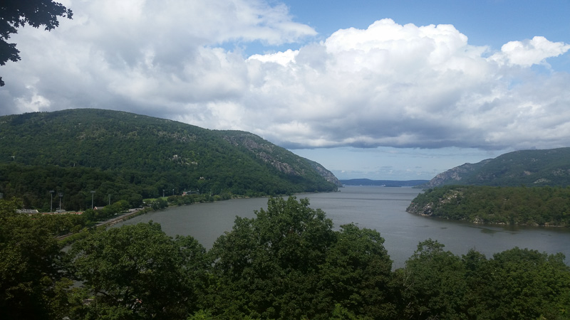
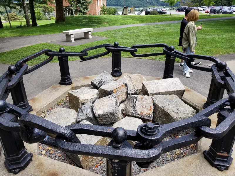
The original garrison was located here at the direction of George Washington because it was a choke point on the Hudson River, and could prevent the British from going all the way up the river and isolating the “troublesome” colonies in what is now New England from the rest of the country. An iron chain was placed across the river (and removed each winter); 13 original links remain.
The Hudson RiverThe thirteen remaining links of the original chain.
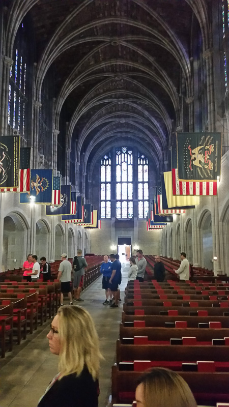
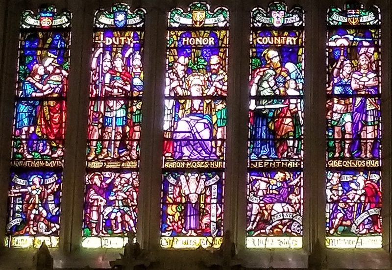
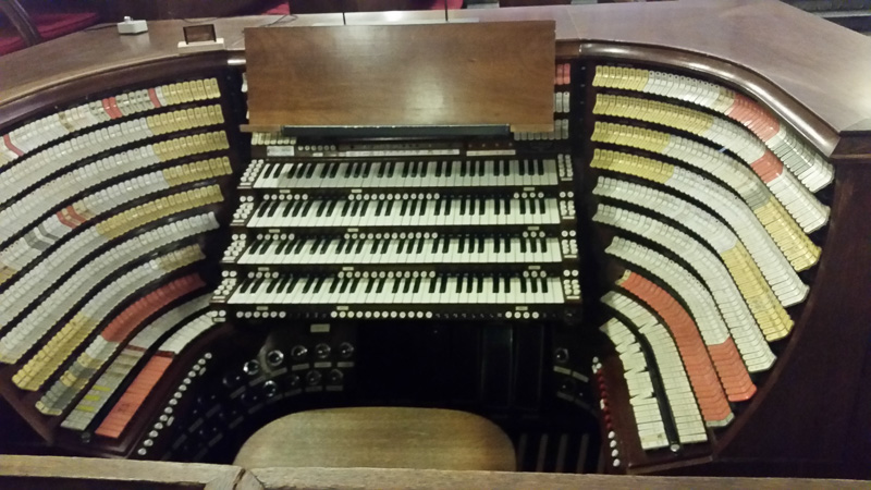
One of the bus stops was the Cadet Chapel, a non-denominational Protestant church. The stained glass rivals some of the churches we have seen in Europe, and the organ is amazing, with more than 23,000 pipes. We’d love to hear a concert here!
Duty. Honor. Country.The organ console.
After the tour we had lunch across the street. “Lunch” is an understatement. It was also dinner, and lunch the next day!
We had a very enjoyable visit with our niece, Susan, that evening.
Friends and relatives have been telling us about the great camping opportunities at state parks. This was our first experience, and it was a good one! Gifford Pinchot is jointly managed by the State and the National Park Service.
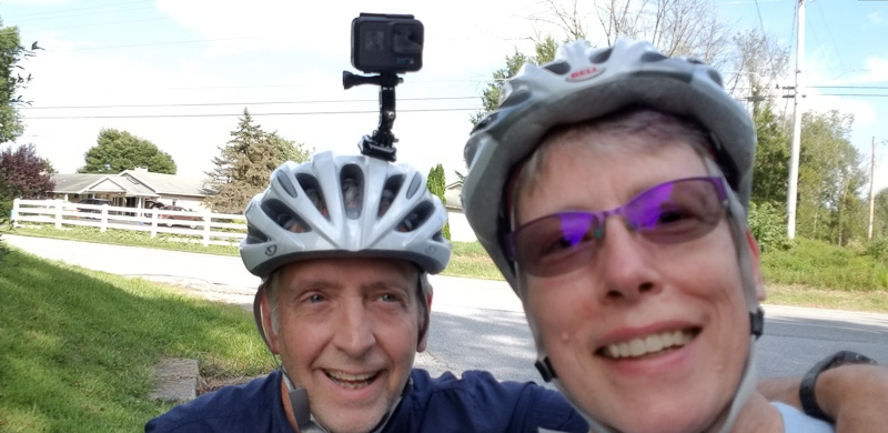
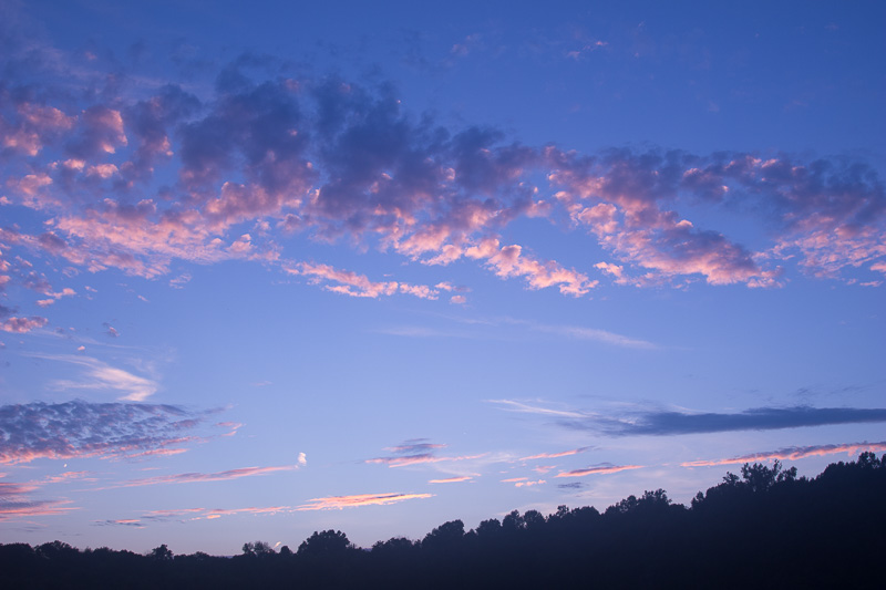
Am I a geek, or what?Sunset at Gifford Pinchot
The biking trails were fabulous and we jaunted out several times. It was lovely to ride along the lakefront and see so many people out fishing (boats were available). Yes, we both have a fair way to go to get as fit as we’d like but we figure if we ‘give it a go’ on a daily basis (biking, walking, or hiking), we’ll get there eventually. Right?
Eager to fly our drone (“Butterfly” — see what we did there? GWTW?), we needed to do some research about whether this was a restricted area. (We know that you cannot ever fly a drone in a National Park or anywhere near an airport or landing strip.) Turns out that there are only six parks in the whole PA State Park system that allow drones; GP is not one of them. Oh, well . . .
It was at Gifford Pinchot, however, where Al befriended a next-door (next site?) camper who was eager to talk shop about all things RV-ish. Tom and Al ended up exchanging tips and lessons learned while Sue and I shared some organizational, interior ideas. Before long, the guys were under Tom’s camper checking the torque on U-bolts. Apparently, it was a good thing they did! It was fun to meet another couple who has also just started their full-time RV lifestyle.
Also momentous at this stop, we used our washing machine for the first time. It worked great! It was somewhat of a challenge to find the powdered high-efficiency detergent that is required; we are now the proud owner of a gallon Zip-lock bag of detergent that will last us for 100+ loads (it only takes 2 T per load).
It was a wonderful first week — we were surprised at how much room the campgrounds had — we’d been told that campsites are very hard to come by. It was great to have a reserved campsite at each location, but we probably could have gotten one on the spot anyway.
We’re off to Indiana today for an 8 day stay at a county fairgrounds. More about that later!
We moved to Mount Desert Island about ten years ago, in large part to take advantage of the opportunities afforded by Acadia National Park. We’ve had a wonderful time in the park, and had the opportunity to explore parts that most people don’t see.
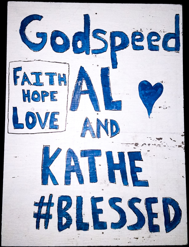
In those ten years, we’ve also been blessed to form many friendships through church, work, the MDI-SAR rescue team, and social groups. Despite the excitement we feel about beginning our adventure, leaving is hard.
We live on an island. Other than by boat, there is only one way to leave–over a single bridge. Our church made the leaving easier, surprising us with this large sign attached to a power pole at the end of the bridge.