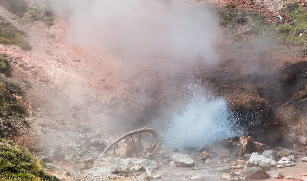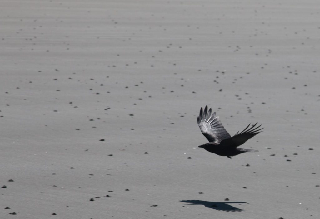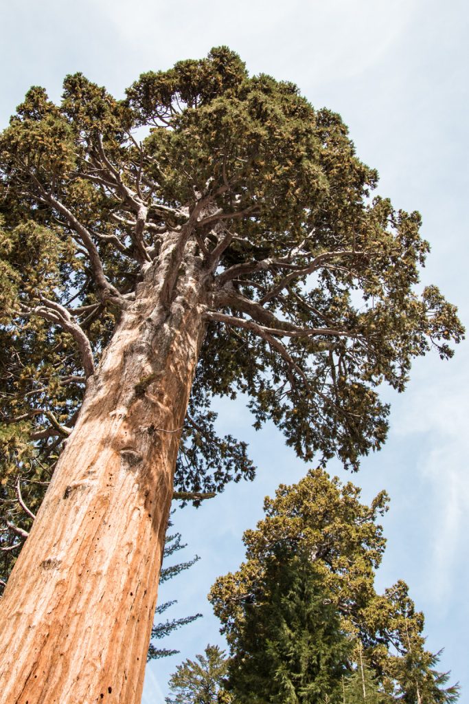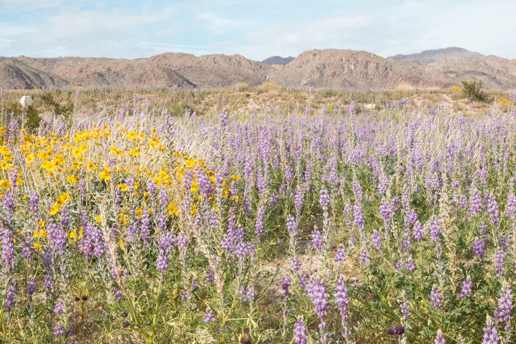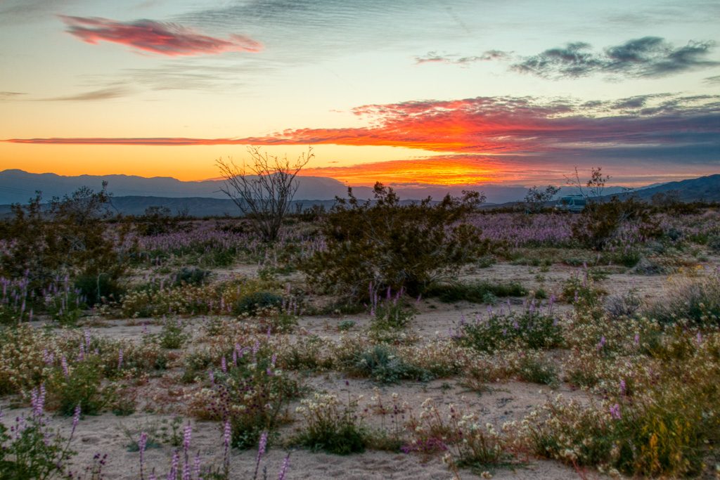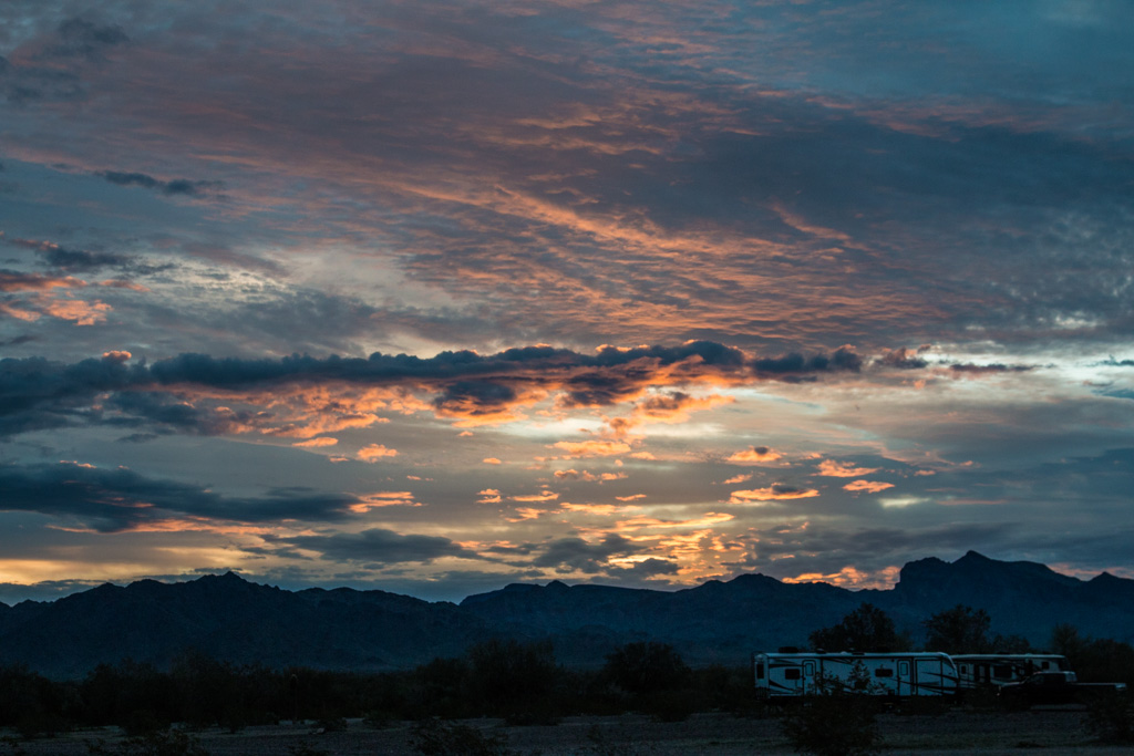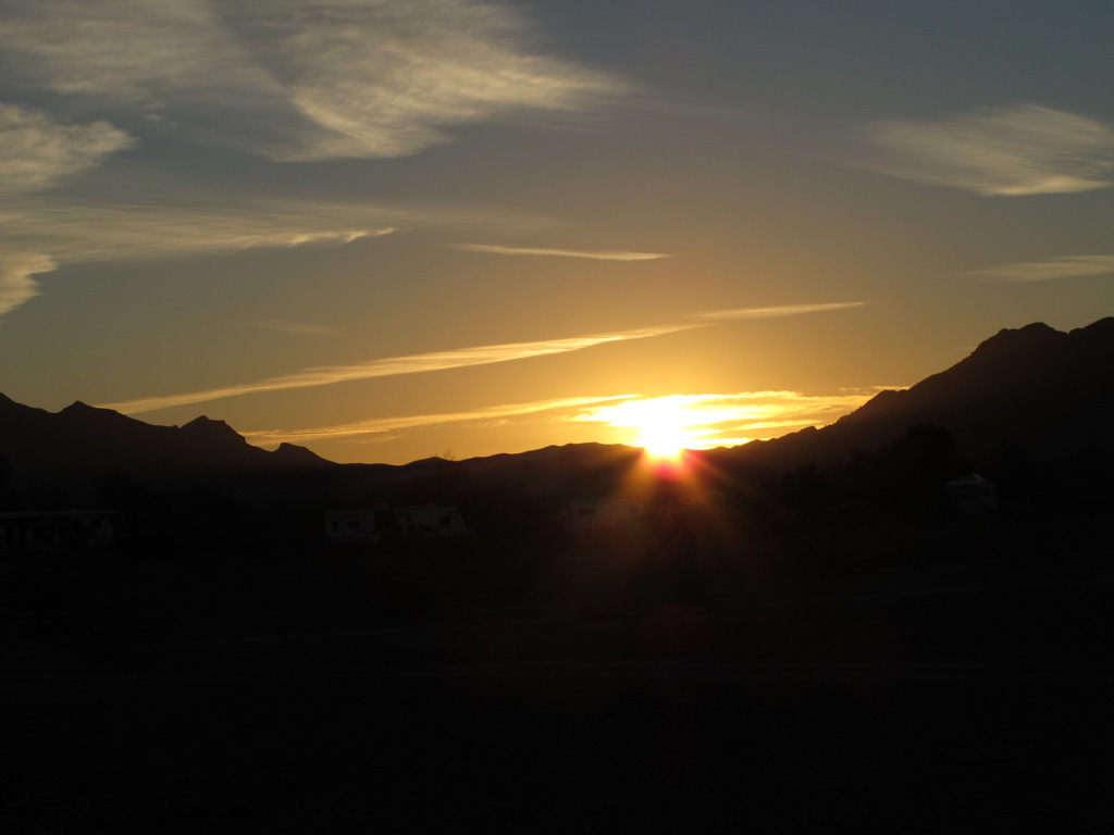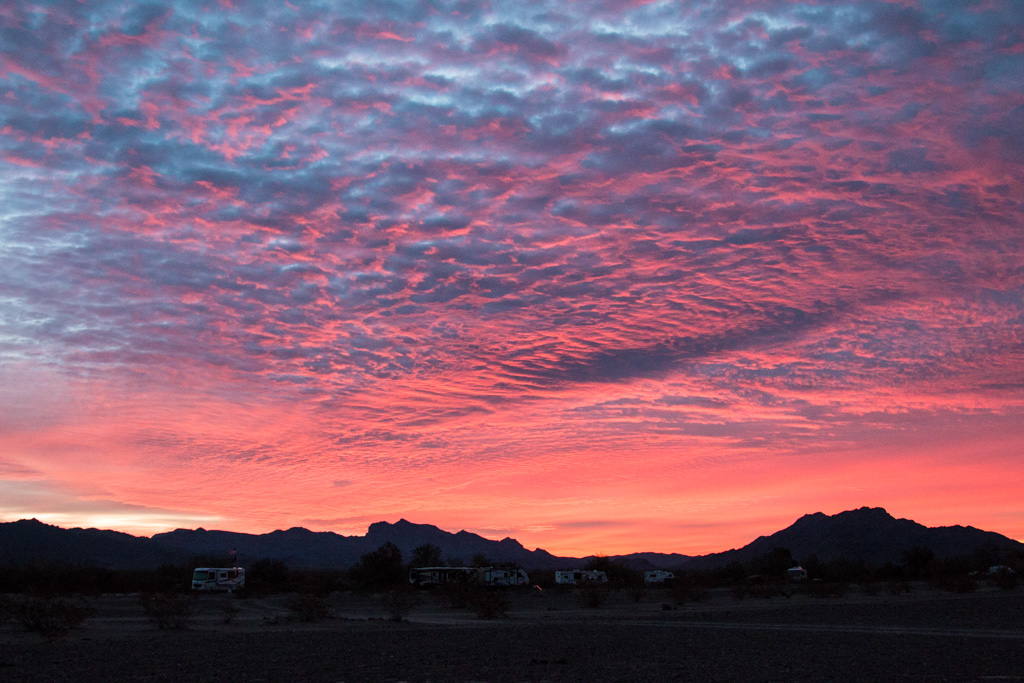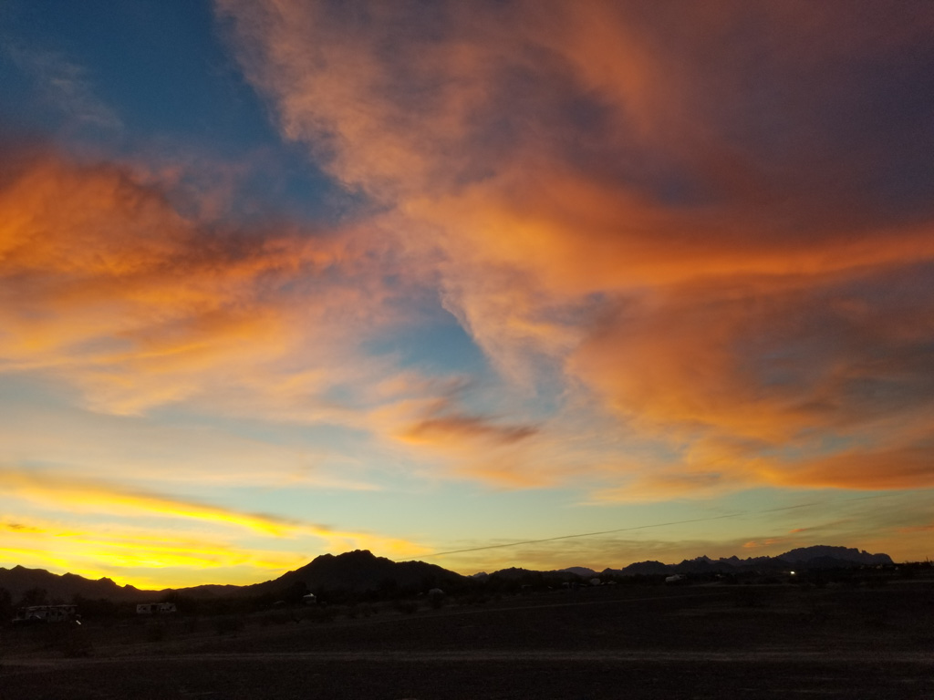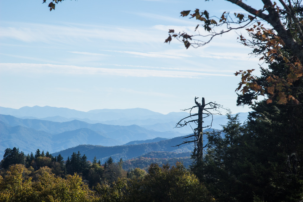
On the Fourth of July, we didn’t really do that much. Well, we did go see the new Spider-man movie. (Far From Home) We figured out through “loads of researching” about Moab where the fireworks would be. (In a central area with no trees) We drove up to a organizer/helper person to find where the best spot would be. He told us to “Keep driving up this road, then turn left at ‘Potato Salad Hill'” We told him thanks, then burst out laughing. Potato Salad Hill? But alas, it was a real thing! We found a spot part way up the hill, and set up shop. We set up Grandma’s little Canon G12 that I was using, and Grandpa’s big Canon on tripods. We had the location of the fireworks completely wrong! We thought they were to be to our right, but they ended up on our left! Even though there were high fire precautions, we still saw at least 5. Thankfully, they all got extinguished before they were too big.

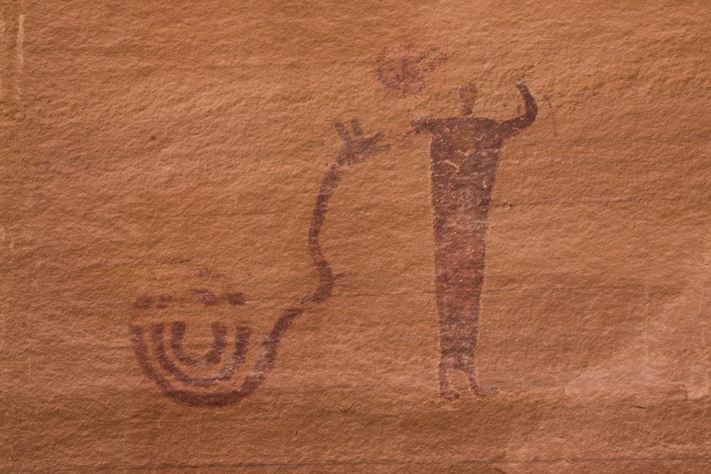
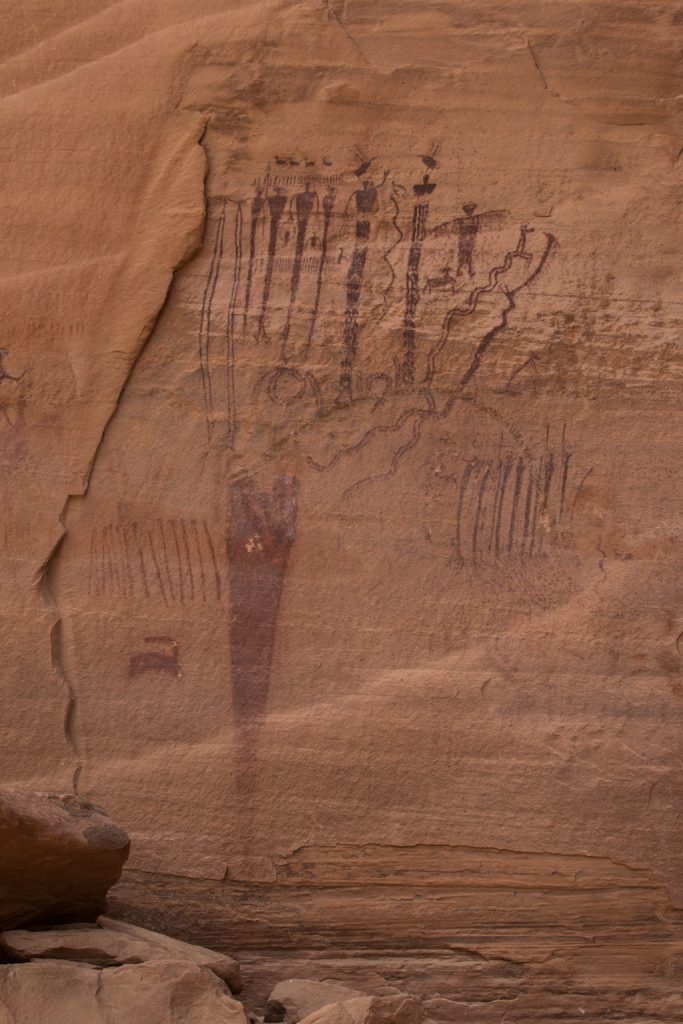
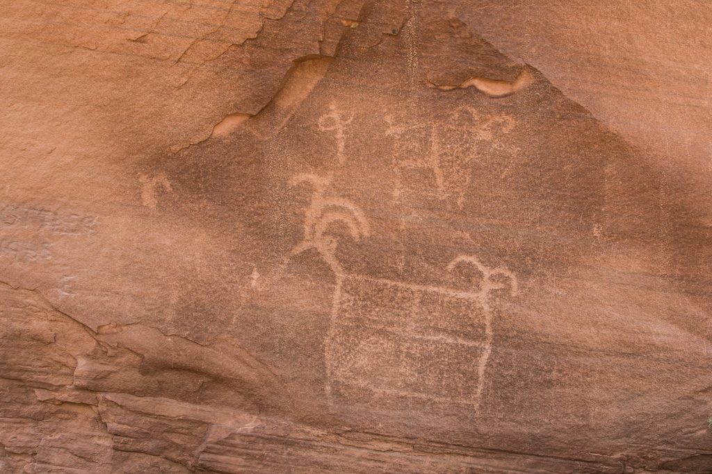
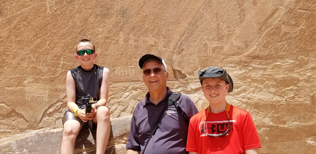
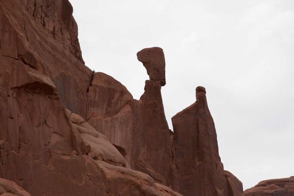
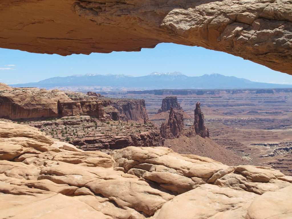
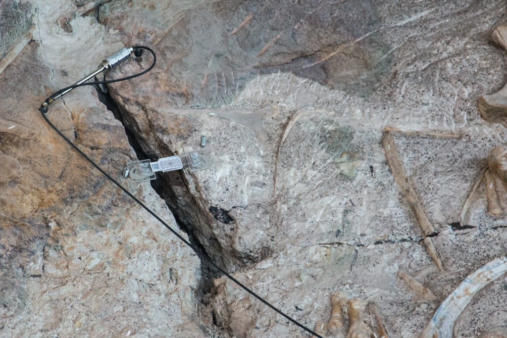
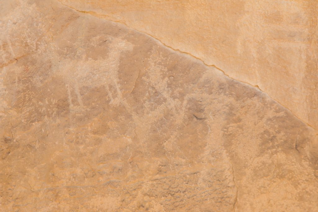
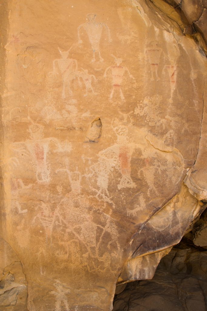
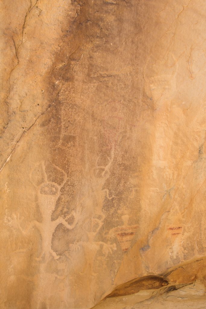
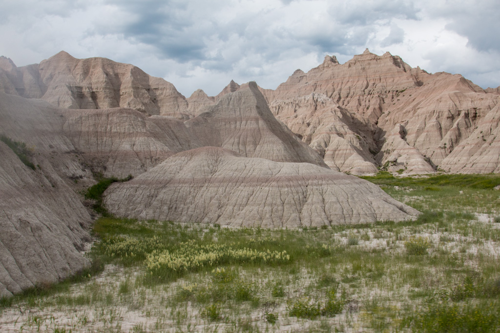
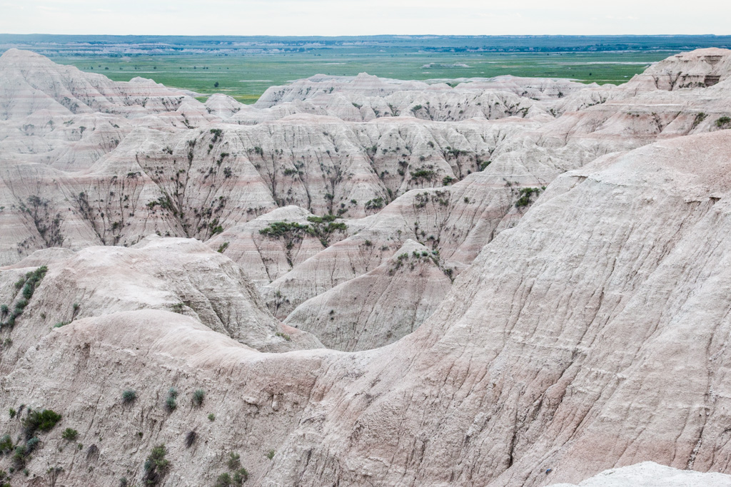
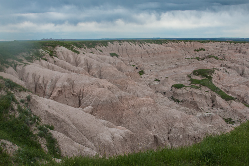
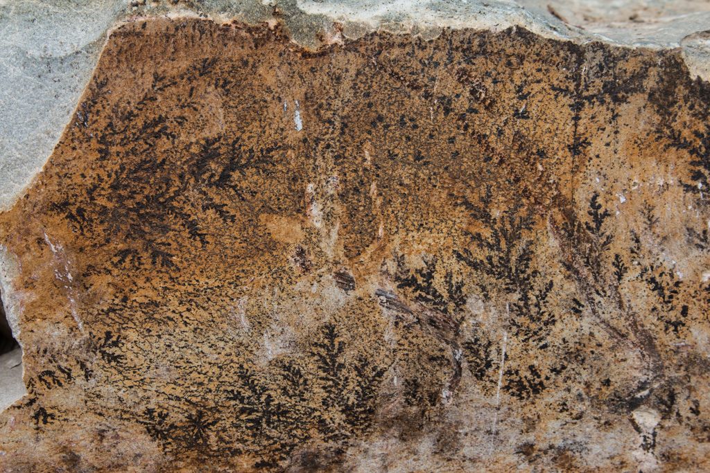
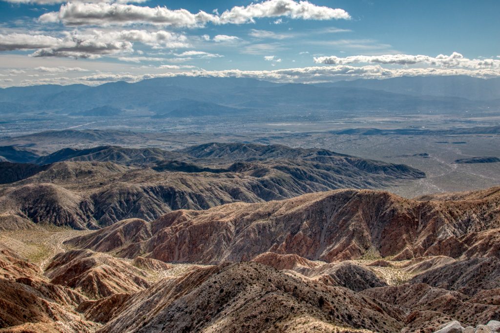
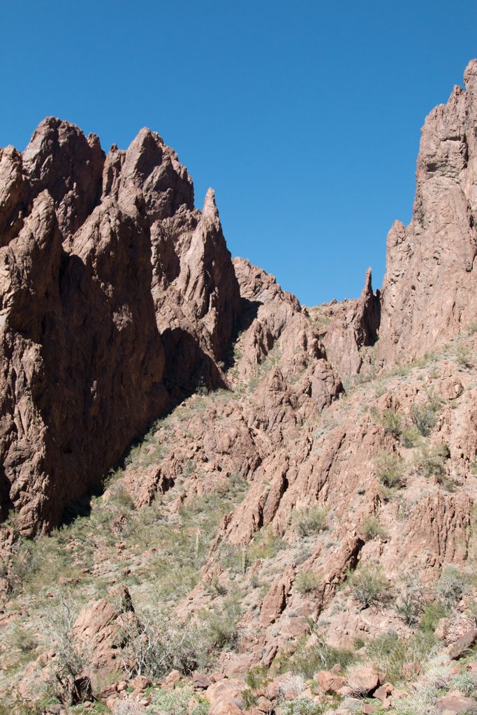
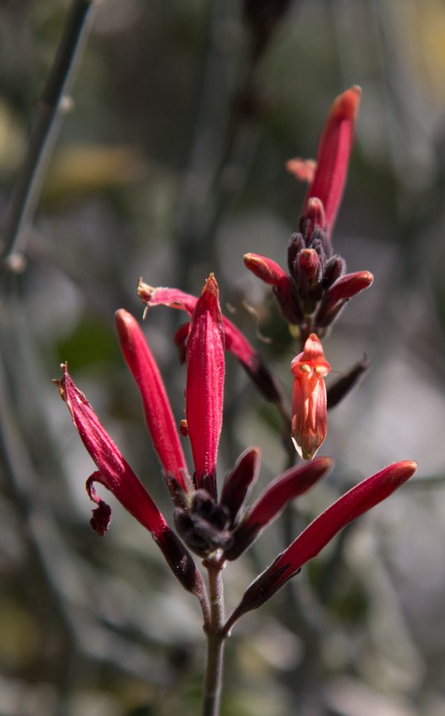
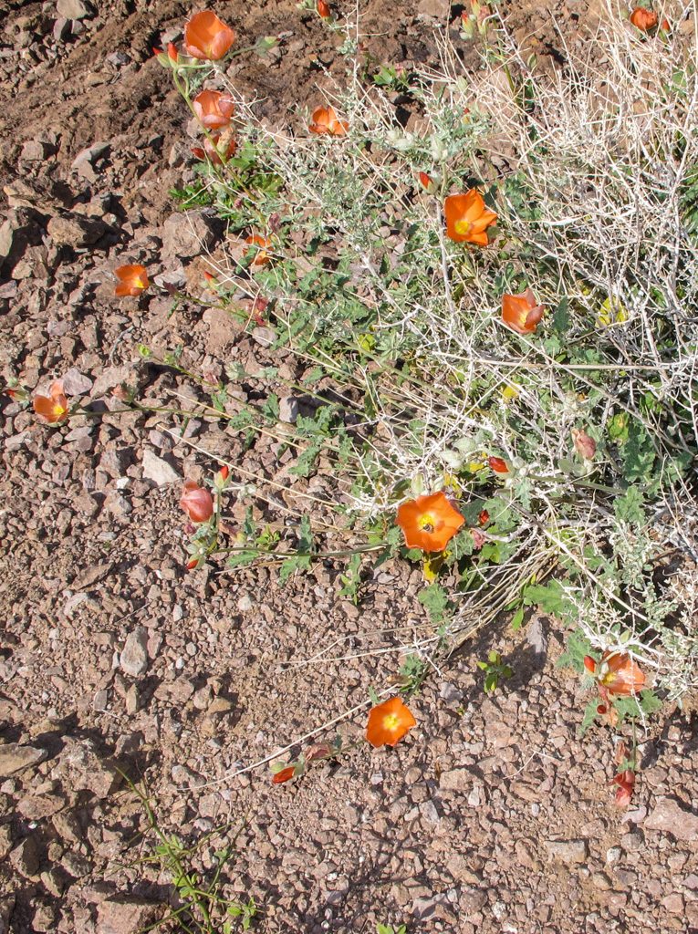
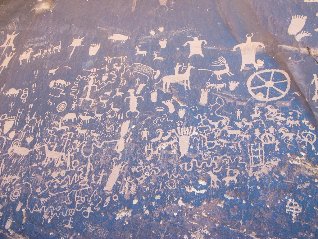
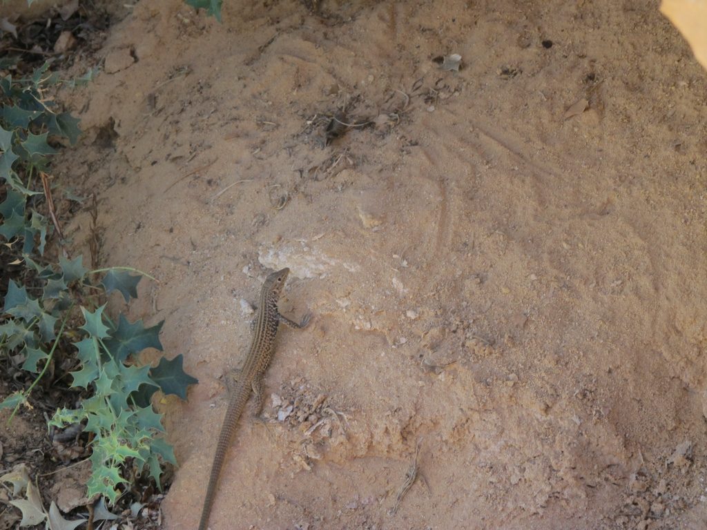
On the fifth, Grandma’s shoulder hurt too badly to join us, so we 3 boys went down to the Needles District of Canyonlands NP. On the way to the Needles District, we pulled over to see “Newspaper Rock,” a site of many petroglyphs.
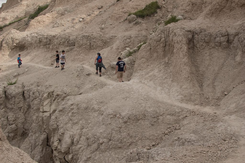
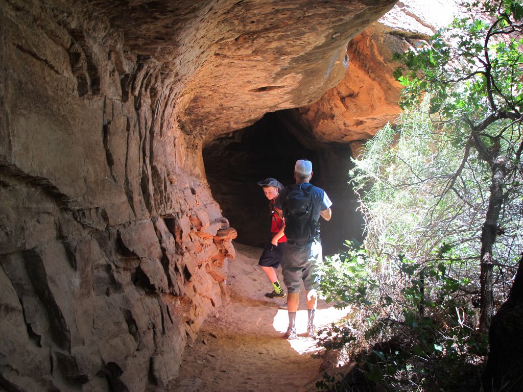
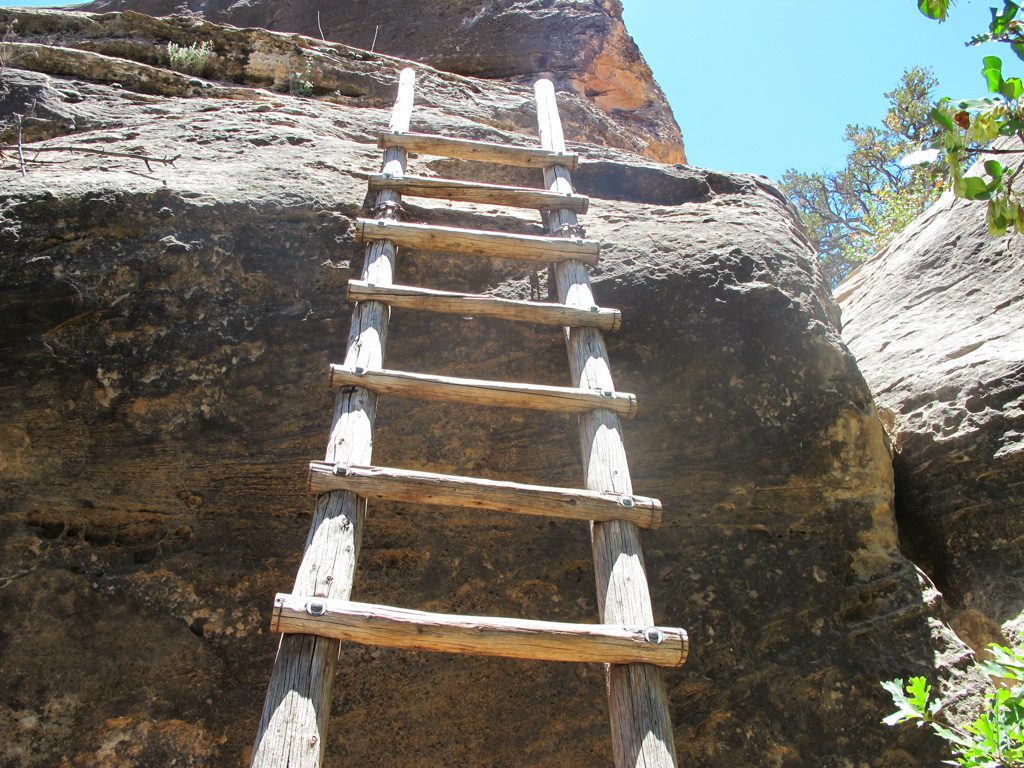
We started at the ‘Cave Spring’ trail, a .6 mile loop going up 2 ladders and going under some mushroom rocks. The mushroom rocks provided some shade from the hot sun.
The ladders were a disappointment. We were expecting some big log ladders. The ‘big’ ladders turned out to be two seven or eight rung ladders.
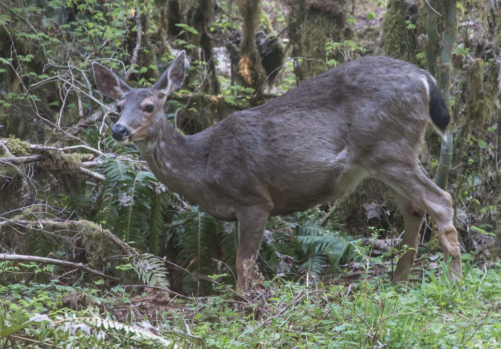
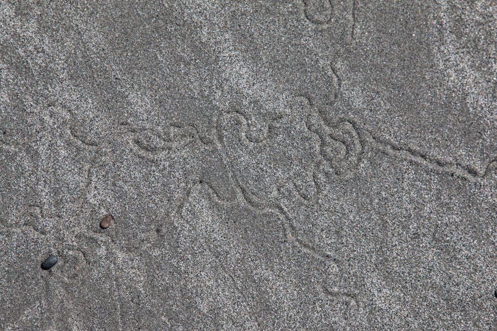
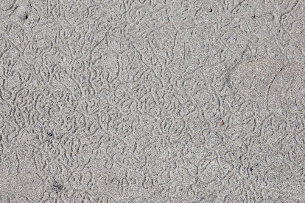
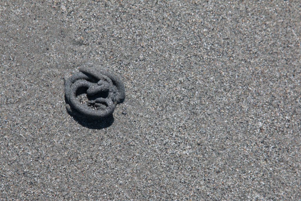
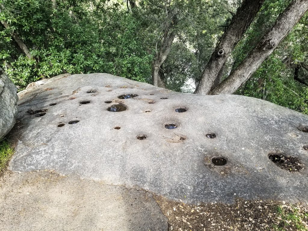
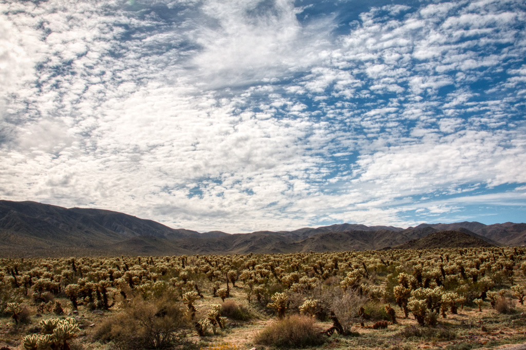
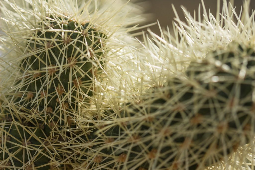
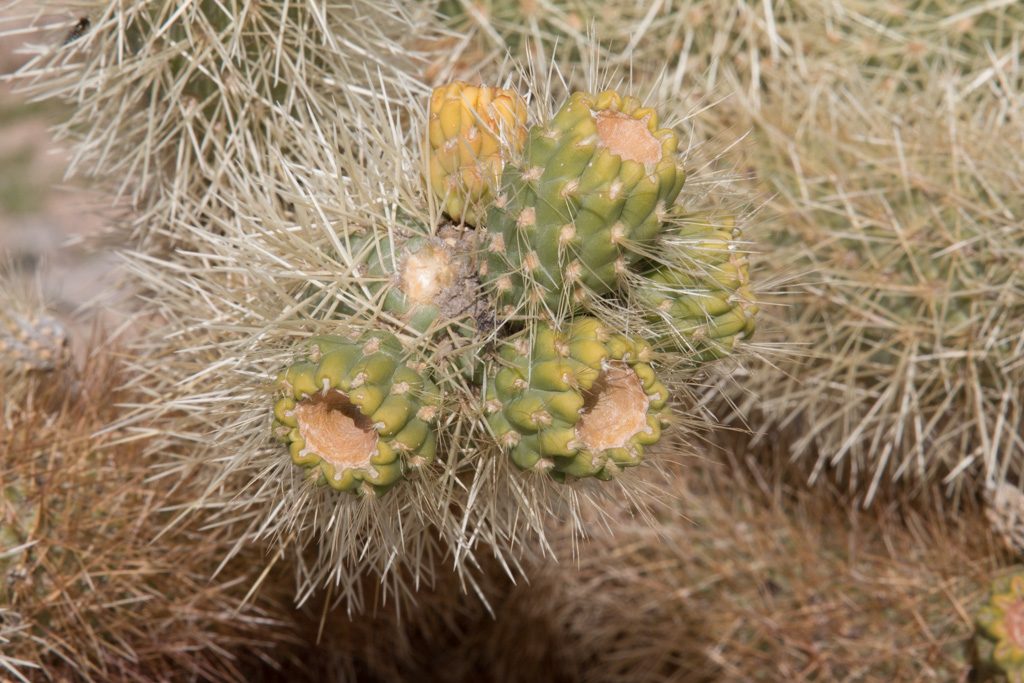
We did another hike at Pothole Point. It’s a really cool hike, getting its name from the indentations in the rock. After the summer monsoons, the potholes fill up with life. They contain microscopic bacteria that can hibernate during the dry season, then pipe up with life after the monsoons.

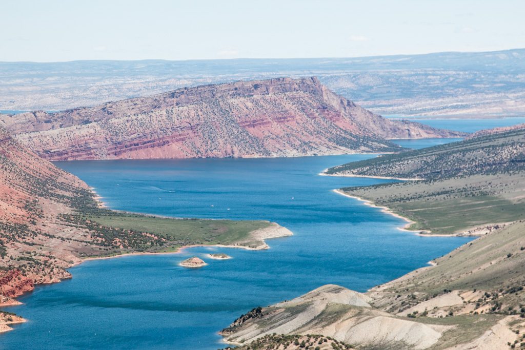
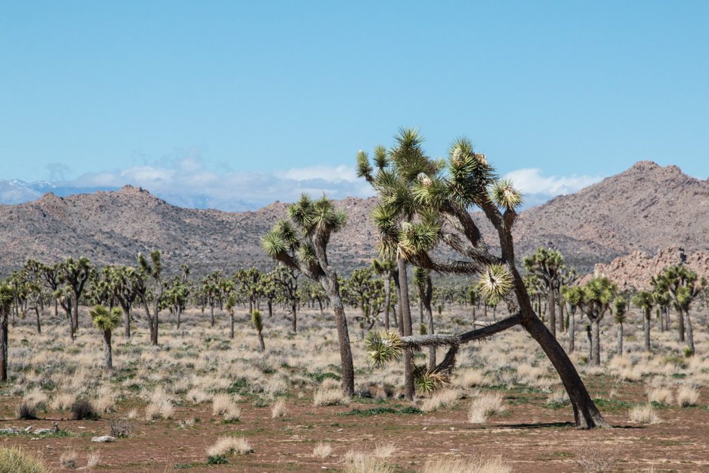
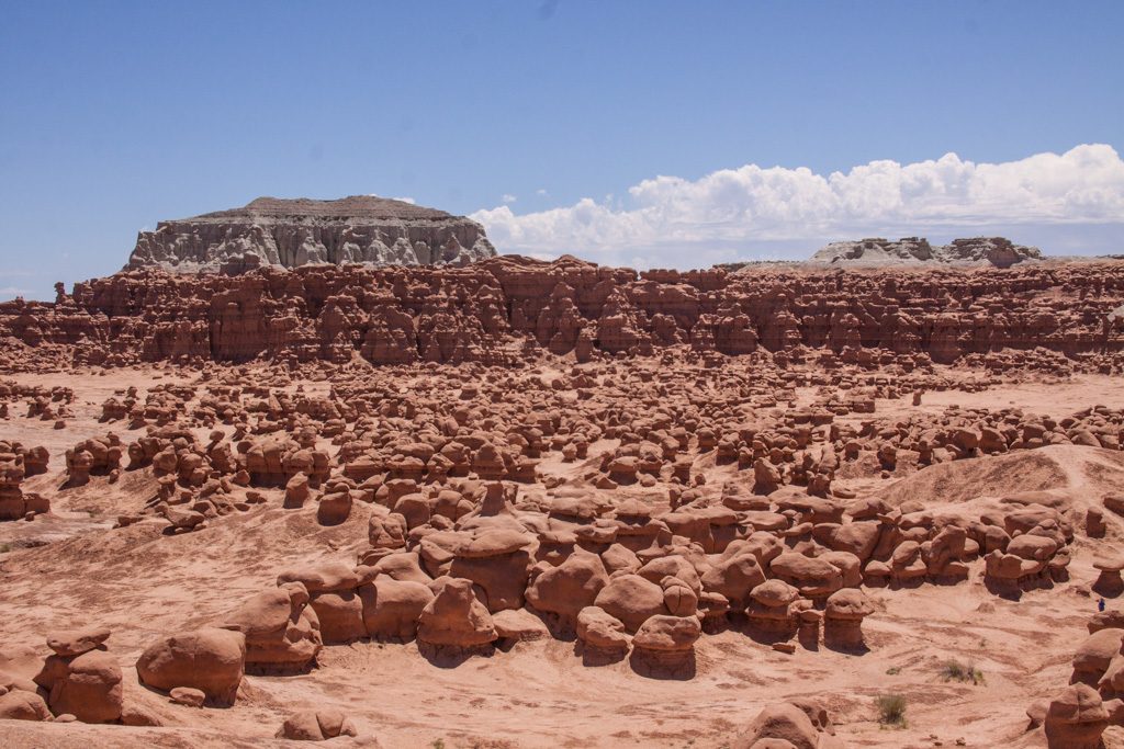
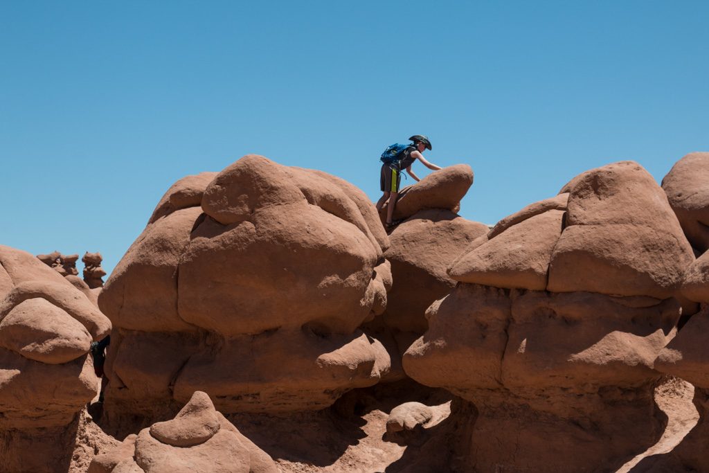
On the sixth, we set course for Torrey, UT for Capitol Reef NP. We had gotten a recommendation for Goblin Valley SP. Goblins are small (ish) stone spires that you can climb on. This was the stop I was most excited about. (Thanks Jay Darrin!) It was AWESOME! Graham and I played Hide & Seek among the spires. Grandpa got a $5 permit to fly Butterfly (the drone) around the park, getting some great video.
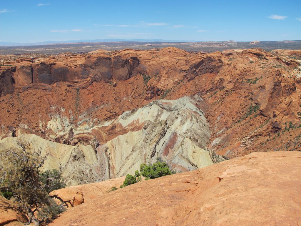
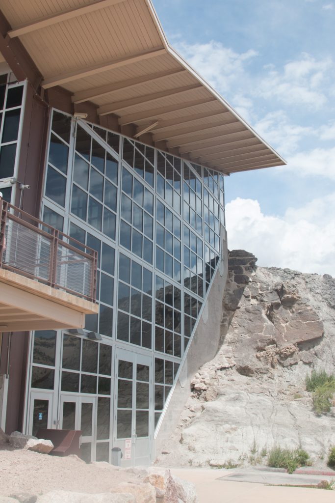
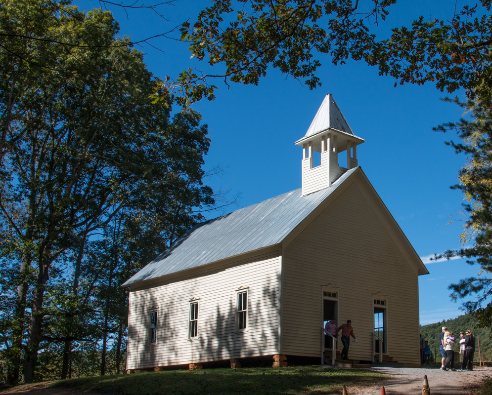
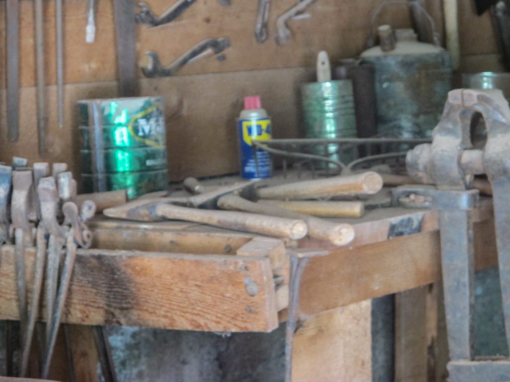
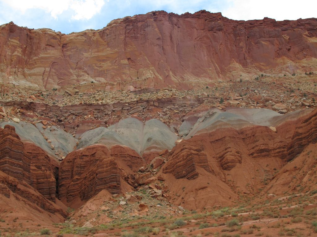
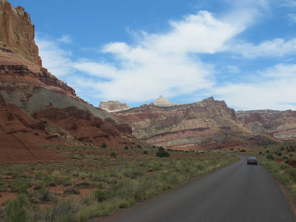
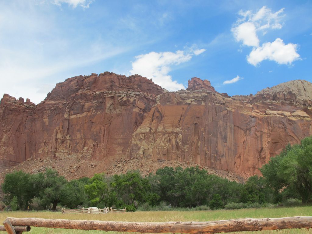
On the seventh, we went to Capitol Reef NP. We tried to go to the visitor’s center, but the parking lot was so small, it was filled up even though there were only about 15 cars there. So we went on, hoping to come back later. We saw some old farm equipment, including a prehistoric can of WD-40! Not really, but it was pretty old. I guess the old saying’s true! “All you need in life is a can of WD-40 and a roll of duct tape. If something doesn’t move and it should, use WD-40. If some moves and it shouldn’t, use the duct tape.” We didn’t see any duct tape though.
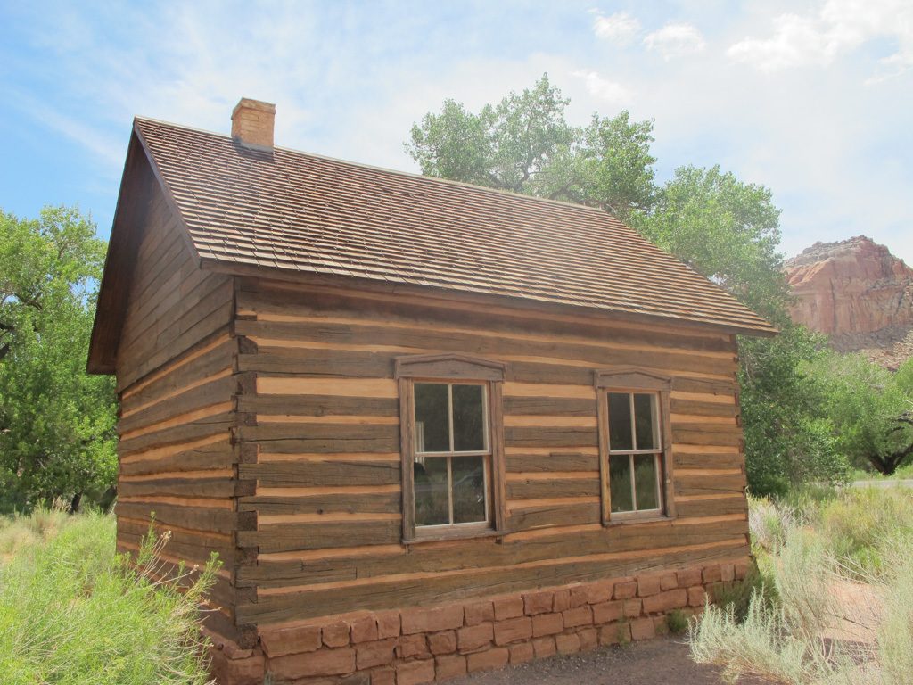
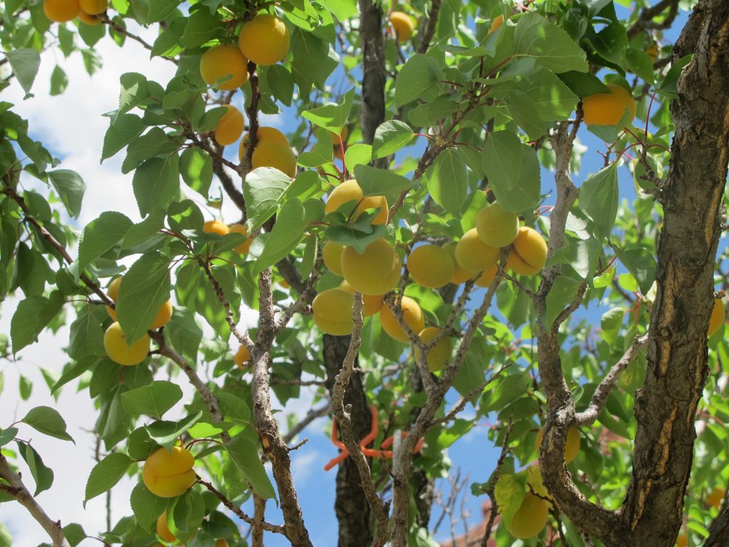
At an orchard and one room schoolhouse, we did see an elk. It crossed the road, and two others joined it. We went back to the visitor’s center and (finally!) got a spot. The orientation film was in a cool little theater. We had Aunt Lee’s Chicken for dinner. (Yum!)
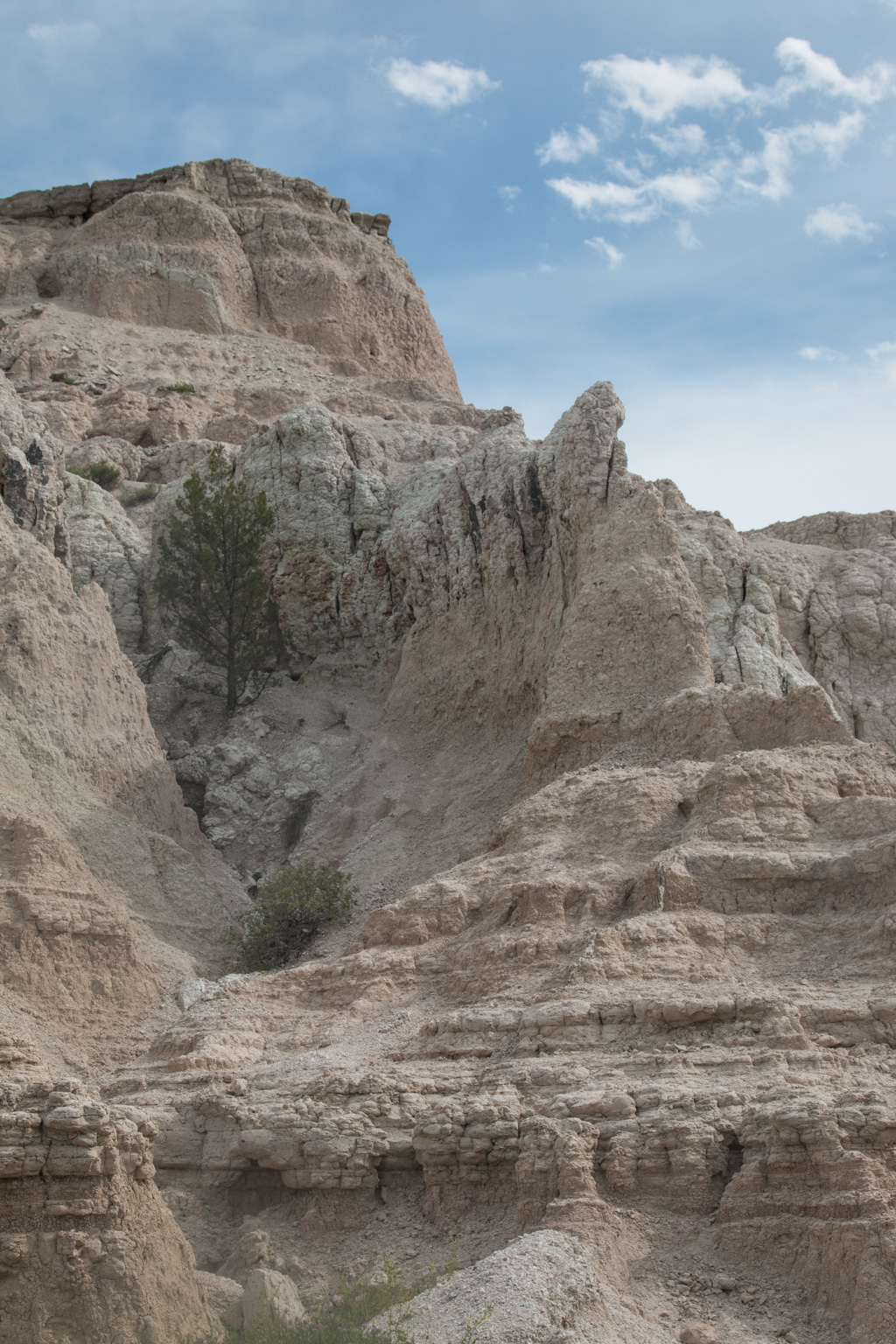
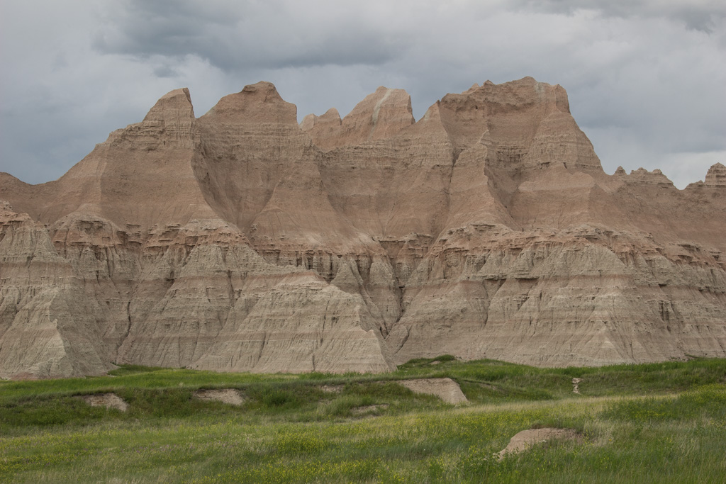
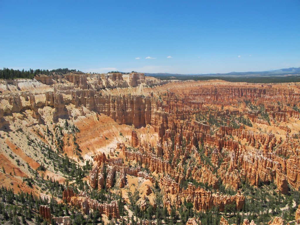
On the eighth, as we drove into Bryce Canyon City, almost all the stuff was Ruby’s this, Ruby’s that. (General store, Inn, RV Park, etc.) We found out that Ruby’s real name was Rubin Syrett. Ebeneezer Bryce found the canyon after losing a cow in it. Ebeneezer set up his home at the rim of a canyon full of hoodoos. (Tall spires of rock.) The canyon was named after him. Many people lived near him and his family, but didn’t know that a beautiful canyon was a few miles from their house. Ruby Syrett was one of them. Legend has it that one day, a stranger came knocking on Ruby’s door, asking if he had seen “Bryce’s Canyon.” Ruby said no, so the stranger took him to see it. Ruby was amazed. In 1919, Ruby and his wife, Minnie, set up a tent to host visitors to the canyon. This business grew and grew, until it is what it is now. Ruby’s grandchildren and great-grandchildren still run all the businesses today! (Sorry for the story time!) On the second night, we went to “Ebeneezer’s Barn And Grill,” a live country music show with a buffet. The music was really good, but obnoxiously loud. We snuck out after a couple songs.
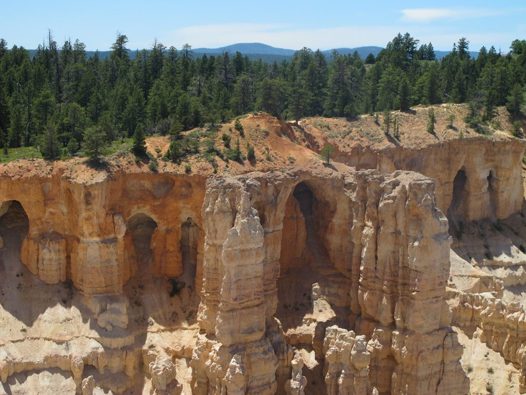
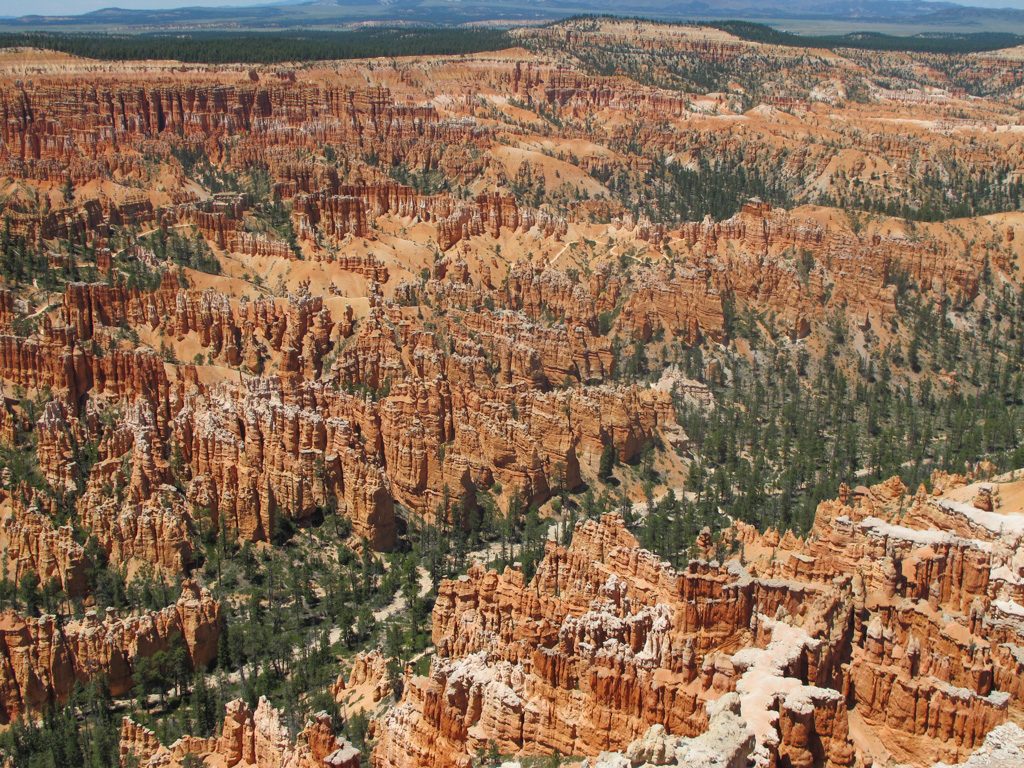
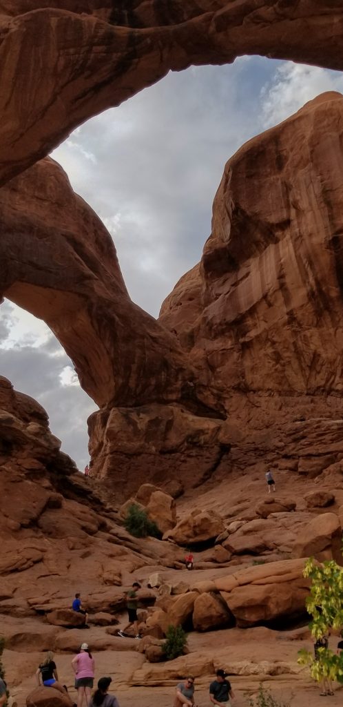
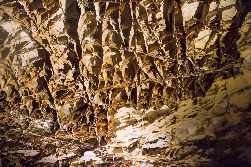
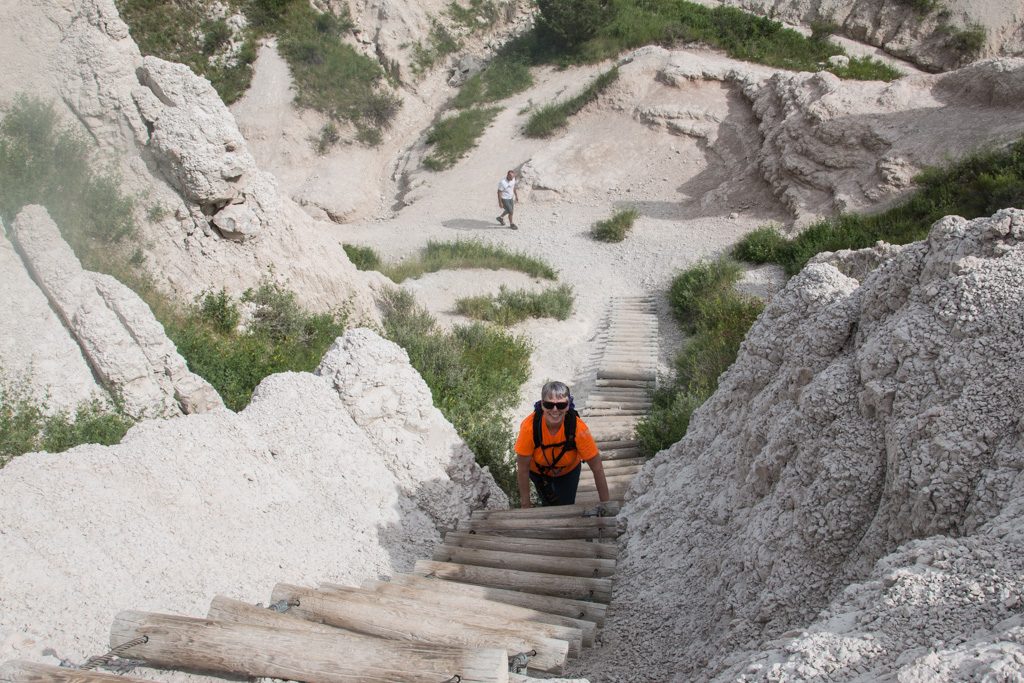
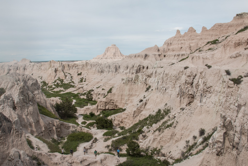
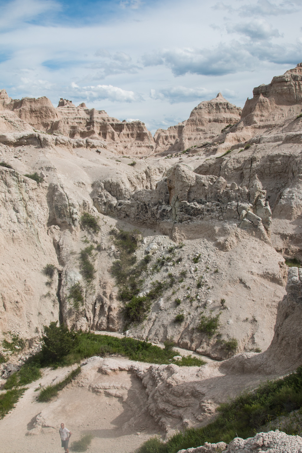
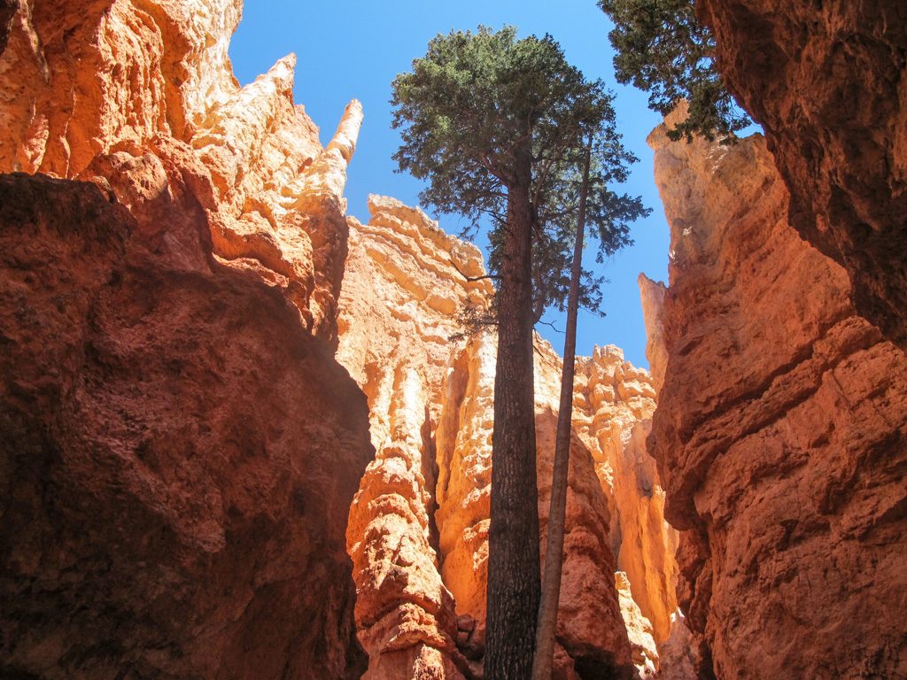
On the ninth, Grandma’s shoulder hurt too much to join us again. So we three boys headed out to do the Navajo Loop trail. The trail went down, into the hoodoos, providing some great sights! The first part was “Wall Street,” a small canyon with three or four really tall Douglas Firs.
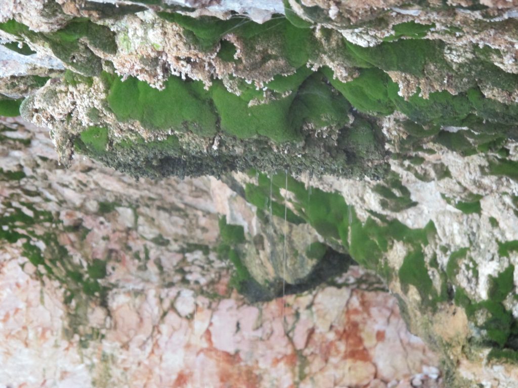
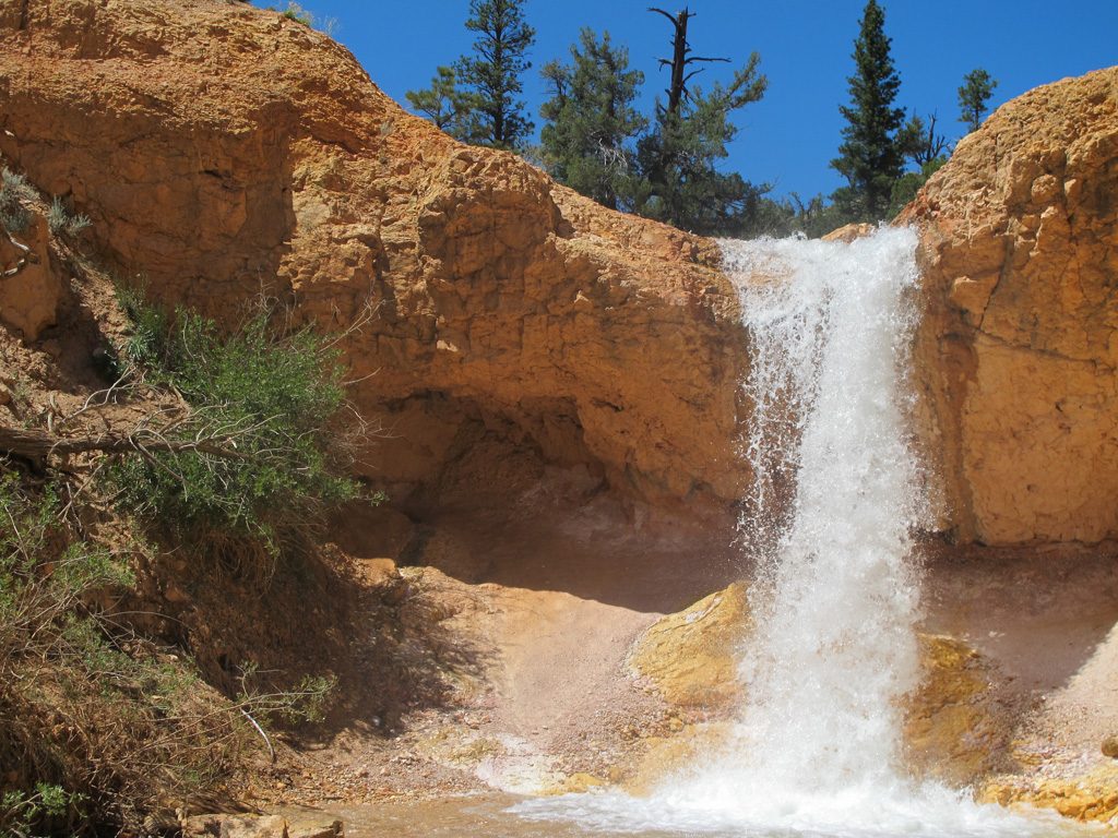
We then went up to Sunrise Point, after hiking about two and a half miles. We went back to the camper, exhausted. A good lunch of I-can’t-remember-what juiced us back up though. We went on a short hike called Mossy Cave. It led to a (Duh!) mossy cave. The info sign said that the icicles that form there over the winter can sometimes last until June!
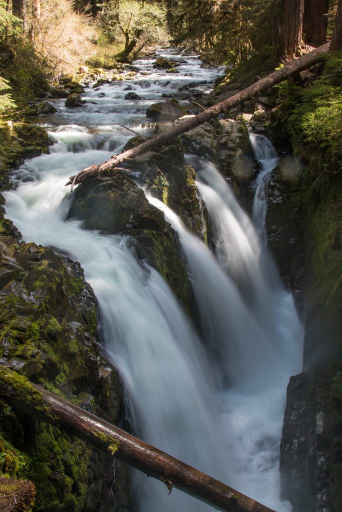
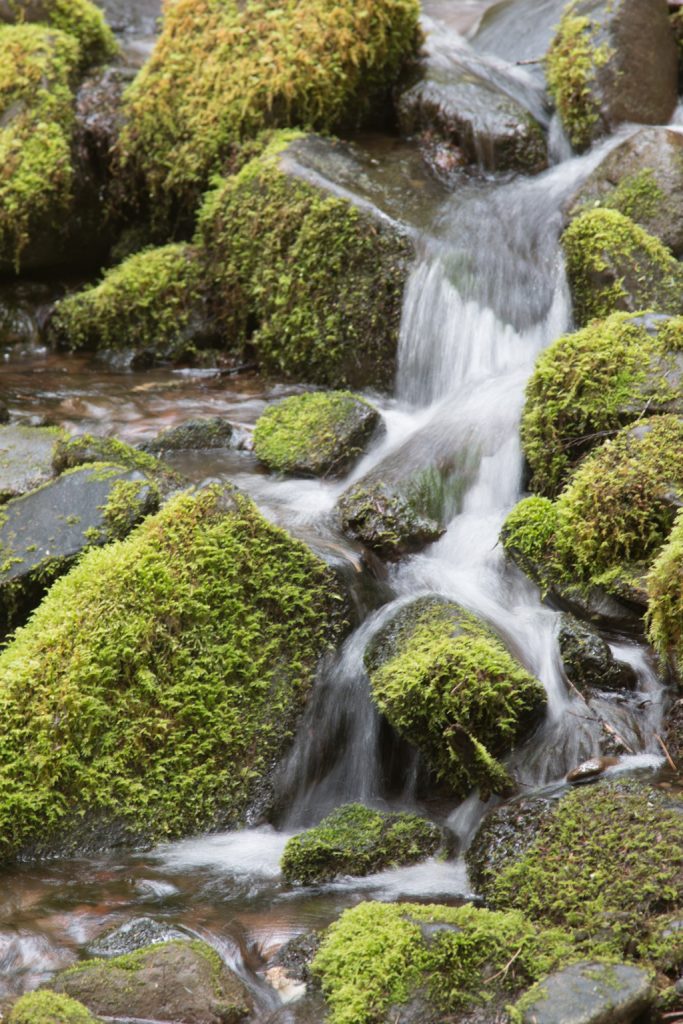
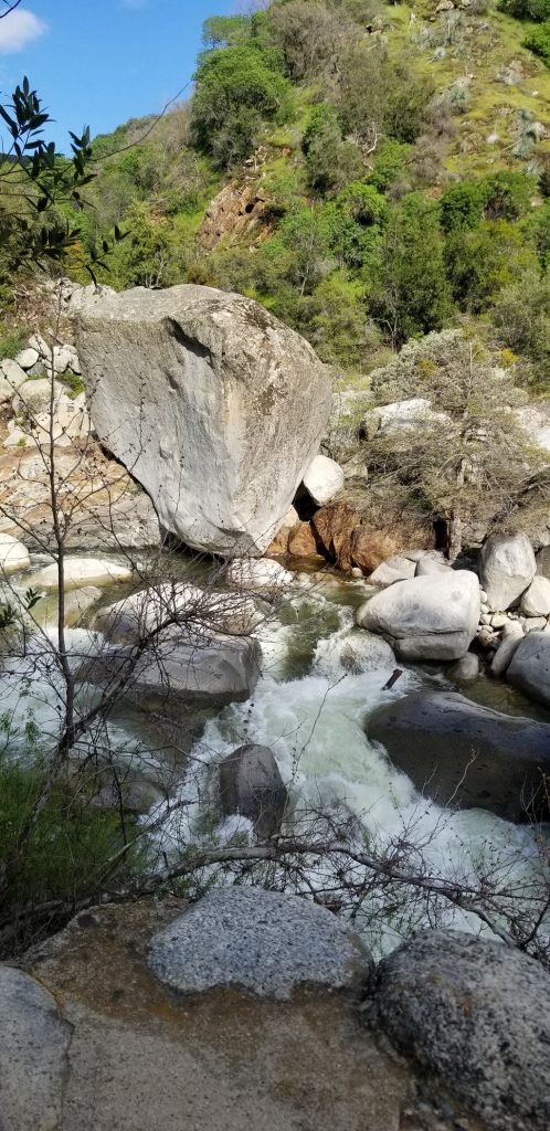
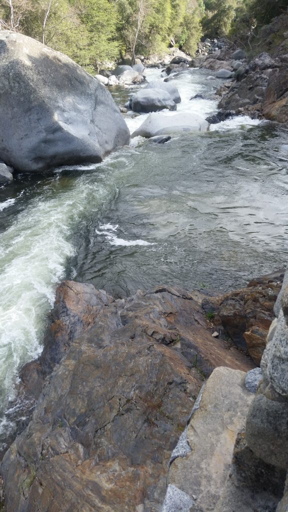
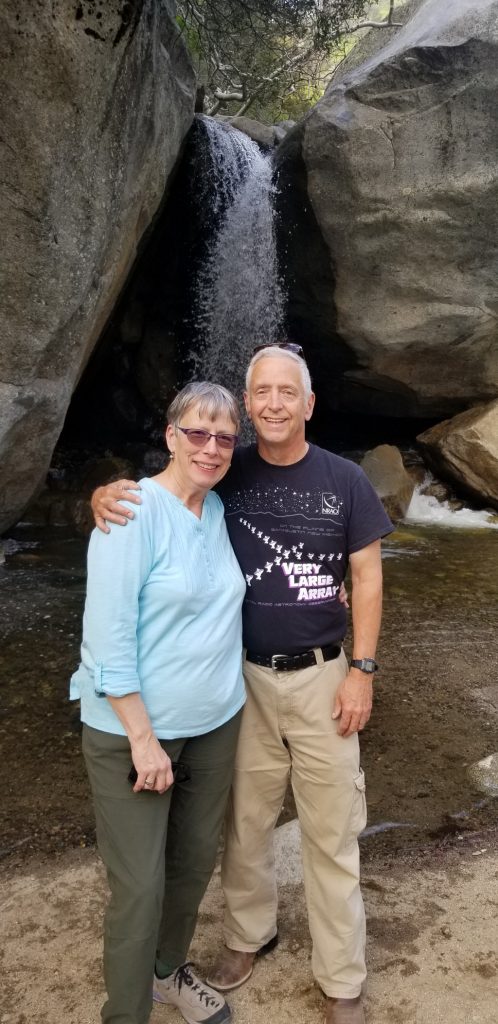
We went back to the first bridge and found a path down to the waterfall at the stream. Grandpa taught us how to “Stop the water” so you can see each individual droplet of water.
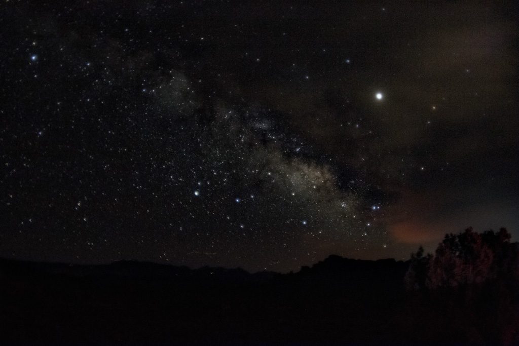
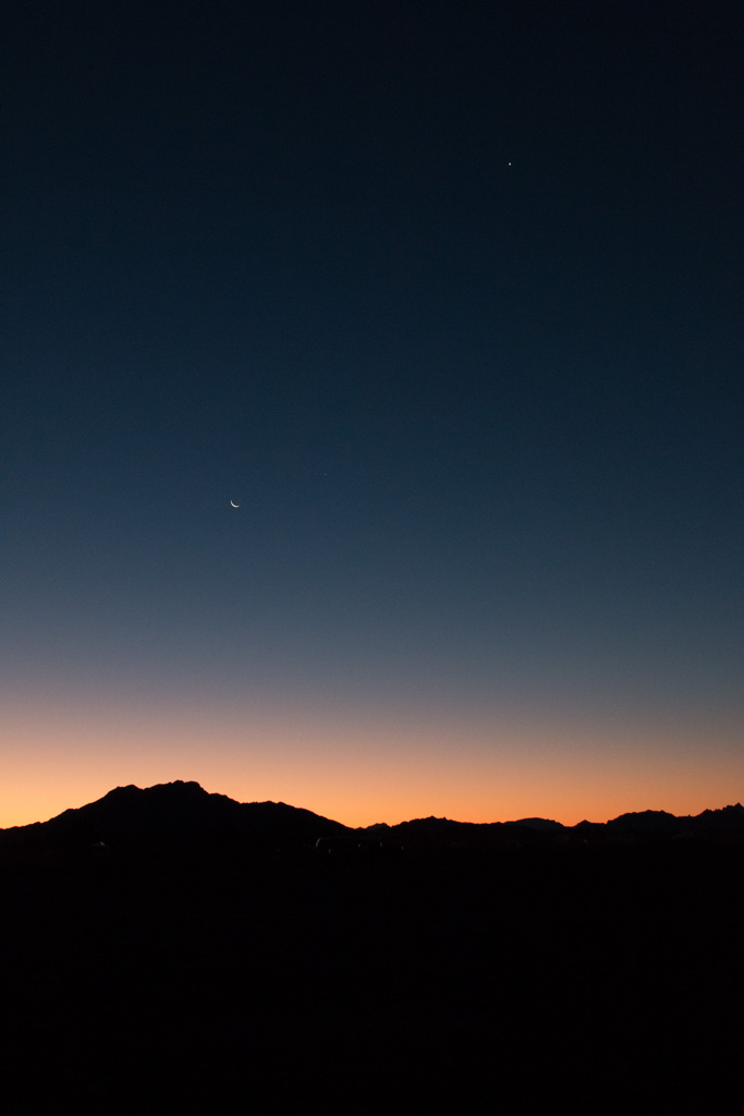
That night, there was an astronomy talk at one of the lodges, and after, there was a telescope demo at the visitor’s center. The ‘Dark Ranger’ who was presenting was really funny. The four telescopes showed: a single point of light that is actually two separate stars, the remains of a ring nebula after it exploded, the moon, and Jupiter with its four biggest moons.
Stay tuned for the last couple parks!